Gadsden, Alabama Map and Directory
Regional Directory > States Menu > Alabama
 According to the United States Census Bureau, Gadsden is a City that is located in Etowah County, Alabama at 34.01 degrees North and 86.01 degrees West.
The city's time zone is America/Chicago, and the city's primary telephone area code is 256.
The land area of Gadsden is about 37.31 square miles, whereas the water area of the city is about 1.18 square miles.
Etowah County's land area is about 535 square miles, so the city occupies about 7.0 percent of the county's total land area.
According to the United States Census Bureau, Gadsden is a City that is located in Etowah County, Alabama at 34.01 degrees North and 86.01 degrees West.
The city's time zone is America/Chicago, and the city's primary telephone area code is 256.
The land area of Gadsden is about 37.31 square miles, whereas the water area of the city is about 1.18 square miles.
Etowah County's land area is about 535 square miles, so the city occupies about 7.0 percent of the county's total land area.
The Census Bureau estimates that Gadsden had about 35,000 residents in 2019, which is approximately 938 people per square mile of land area.
According to recent American Community Survey data, the median household income in Gadsden was about $32,642 per year.
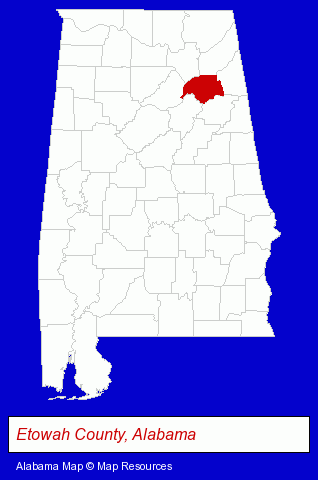
The Alabama counties map at upper right shows Etowah County, highlighted in red. Use the menu below to display interactive maps of Gadsden, either in a frame on this page or in full-screen mode.
Use the menu below to display categorized Gadsden directories.
| Gadsden Products and Services Directory | ||
|---|---|---|
| Attorneys | Home Improvement | Insurance |
| Schools | ||
Selected Gadsden, Alabama Listings
These randomly selected Gadsden listings provide some insight into the city's cultural environment and economic climate.- Carpet & Rug Dealers
- Floors & Flooring Retail
- Real Estate Attorneys
- Funeral Services
- Funeral Homes & Directors
- Cemeteries & Memorial Parks
- Cemeteries & Crematories
- Cremation Services
- Elementary & Secondary Education
- Elementary Schools
- Public Schools
- Pest Control Services
- Pest Control Equipment & Supplies Retail
- Moving & Storage
- Colleges & Universities
- Industrial Equipment & Supplies Dealers
- Industrial Equipment & Supplies Wholesale & Manufacturers
- Truck Dealers
- Forklift & Industrial Truck Dealers
- Automation Equipment & Systems Dealers Industrial
Nearby Alabama Cities and Towns *
- Anniston (5) - Anniston, Alabama demographics and maps.
- Birmingham (58) - Birmingham, Alabama products & services directory.
- Huntsville (28) - Huntsville, Alabama solutions directory and maps.
- Montgomery (23) - Montgomery, Alabama solutions directory and maps.
- Pell City (1) - Pell City, Alabama information and maps.
- Scottsboro (1) - Scottsboro, Alabama information and maps.
- Trussville (3) - Trussville, Alabama information and maps.
Large and Mid-size Cities in Nearby States
- Rome, Georgia (7) - Rome, GA demographics and maps.
* Parenthesized numbers indicate economic activity levels.
Copyright © 2011-2026 RegionalDirectory.us. All rights reserved.