Sherwood, Arkansas Map and Directory
Regional Directory > States Menu > Arkansas
 According to the United States Census Bureau, Sherwood is a City that is located in Pulaski County, Arkansas at 34.82 degrees North and 92.22 degrees West.
The city's time zone is America/Chicago, and the city's primary telephone area code is 501.
The land area of Sherwood is about 20.84 square miles, whereas the water area of the city is about 0.41 square miles.
Pulaski County's land area is about 760 square miles, so the city occupies about 2.7 percent of the county's total land area.
According to the United States Census Bureau, Sherwood is a City that is located in Pulaski County, Arkansas at 34.82 degrees North and 92.22 degrees West.
The city's time zone is America/Chicago, and the city's primary telephone area code is 501.
The land area of Sherwood is about 20.84 square miles, whereas the water area of the city is about 0.41 square miles.
Pulaski County's land area is about 760 square miles, so the city occupies about 2.7 percent of the county's total land area.
The Census Bureau estimates that Sherwood had about 31,436 residents in 2019, which is approximately 1,508 people per square mile of land area.
According to recent American Community Survey data, the median household income in Sherwood was about $63,131 per year.
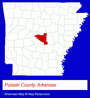
The Arkansas counties map at upper right shows Pulaski County, highlighted in red. Use the menu below to display interactive maps of Sherwood, either in a frame on this page or in full-screen mode.
Use the menu below to display categorized Sherwood directories.
| Sherwood Directory Page: | Dentists |
|---|
Selected Sherwood, Arkansas Listings
These Sherwood listings provide some insight into the city's cultural environment and economic climate. 1-888-Stain-Arkansascom- Cleaning Services
- Exterior Cleaning Services
- Pressure Cleaning Services Residential
- Business & Professional Associations & Organizations
- Community & Civic Organizations
- Soccer
- Soccer Clubs & Instruction
- Musical Instruments Retail
- Resale, Second Hand & Used Merchandise Stores
- Musical Instrument Service & Repair
- Musical Instrument Rental & Leasing
- Used Musical Instruments
- Gift Shops
- Bookstores
- Collectibles Dealers
- Comic Books
- Collectible Gifts
- Lawn & Garden Equipment & Supplies Retail
- Veterinarians
- Animal Hospitals
- Animal Health
Nearby Arkansas Cities and Towns *
- Bryant (1) - Bryant, Arkansas information and maps.
- Conway (6) - Conway, Arkansas demographics and maps.
- Jacksonville (1) - Jacksonville, Arkansas information and maps.
- Little Rock (32) - Little Rock, Arkansas solutions directory and maps.
- Maumelle (2) - Maumelle, Arkansas information and maps.
- Mountain Home (6) - Mountain Home, Arkansas demographics and maps.
- North Little Rock (4) - North Little Rock, Arkansas information and maps.
* Parenthesized numbers indicate economic activity levels.
Copyright © 2011-2026 RegionalDirectory.us. All rights reserved.