Flagstaff, Arizona Map and Directory
Regional Directory > States Menu > Arizona
 According to the United States Census Bureau, Flagstaff is a City that is located in Coconino County, Arizona at 35.20 degrees North and 111.65 degrees West.
The city's time zone is America/Phoenix, and the city's primary telephone area code is 928.
The land area of Flagstaff is about 64.41 square miles, whereas the water area of the city is about 0.04 square miles.
Coconino County's land area is about 18,619 square miles, so the city occupies about 0.3 percent of the county's total land area.
According to the United States Census Bureau, Flagstaff is a City that is located in Coconino County, Arizona at 35.20 degrees North and 111.65 degrees West.
The city's time zone is America/Phoenix, and the city's primary telephone area code is 928.
The land area of Flagstaff is about 64.41 square miles, whereas the water area of the city is about 0.04 square miles.
Coconino County's land area is about 18,619 square miles, so the city occupies about 0.3 percent of the county's total land area.
The Census Bureau estimates that Flagstaff had about 75,038 residents in 2019, which is approximately 1,165 people per square mile of land area.
According to recent American Community Survey data, the median household income in Flagstaff was about $58,748 per year.
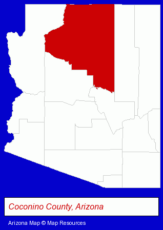
The Arizona counties map at upper right shows Coconino County, highlighted in red. Use the menu below to display interactive maps of Flagstaff, either in a frame on this page or in full-screen mode.
Use the menu below to display categorized Flagstaff directories.
| Flagstaff Products and Services Directory | ||
|---|---|---|
| Attorneys | Auto Service | Bars and Pubs |
| Building Materials | Dentists | Excavation Contractors |
| Financial Services | Home Improvement | Hotels |
| Physicians | Printing and Publishing | Restaurants |
| Schools | Steak Restaurants | |
Selected Flagstaff, Arizona Listings
These randomly selected Flagstaff listings provide some insight into the city's cultural environment and economic climate.- Bar & Grill Restaurants
- Seafood Restaurants
- Barbecue Restaurants
- Raw Bar Restaurants
- Auto Parts Retail
- Auto Glass Retail
- Auto Glass Replacement & Repair
- Auto Glass Coating & Tinting
- Lodging
- Hotels
- Motels
- Hotel & Motel Reservations
- Caterers
- American Restaurants
- Bars & Pubs
- Social & Human Services
- Corporate Business Attorneys
- Criminal Law Attorneys
- Family Law Attorneys
- Janitorial Equipment & Supplies Retail
- Building & Home Construction
- Architects
- Architectural Services
- Construction Law Attorneys
- Administrative & Governmental Law Attorneys
Nearby Arizona Cities and Towns *
- Jerome (1) - Jerome, Arizona information and maps.
- Peoria (8) - Peoria, Arizona demographics and maps.
- Prescott (11) - Prescott, Arizona demographics and directory.
- Prescott Valley (4) - Prescott Valley, Arizona information and maps.
- Scottsdale (57) - Scottsdale, Arizona products & services directory.
- Sedona (6) - Sedona, Arizona demographics and maps.
* Parenthesized numbers indicate economic activity levels.
Copyright © 2011-2026 RegionalDirectory.us. All rights reserved.