Costa Mesa, California Map and Directory
Regional Directory > States Menu > California
 According to the United States Census Bureau, Costa Mesa is a City that is located in Orange County, California at 33.64 degrees North and 117.92 degrees West.
The city's time zone is America/Los Angeles, and the city's primary telephone area code is 949.
The land area of Costa Mesa is about 15.72 square miles, whereas the water area of the city is about 0.08 square miles.
Orange County's land area is about 791 square miles, so the city occupies about 2.0 percent of the county's total land area.
According to the United States Census Bureau, Costa Mesa is a City that is located in Orange County, California at 33.64 degrees North and 117.92 degrees West.
The city's time zone is America/Los Angeles, and the city's primary telephone area code is 949.
The land area of Costa Mesa is about 15.72 square miles, whereas the water area of the city is about 0.08 square miles.
Orange County's land area is about 791 square miles, so the city occupies about 2.0 percent of the county's total land area.
The Census Bureau estimates that Costa Mesa had about 113,003 residents in 2019, which is approximately 7,188 people per square mile of land area.
According to recent American Community Survey data, the median household income in Costa Mesa was about $84,138 per year.
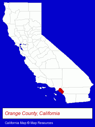
The California counties map at upper right shows Orange County, highlighted in red. Use the menu below to display interactive maps of Costa Mesa, either in a frame on this page or in full-screen mode.
Use the menu below to display categorized Costa Mesa directories.
| Costa Mesa Products and Services Directory | ||
|---|---|---|
| American Restaurants | Auto Service | Building Contractors |
| Clinics | Home Improvement | Metals |
| Moving and Storage | Optometrists | Printing and Publishing |
| Restaurants | ||
Selected Costa Mesa, California Listings
These randomly selected Costa Mesa listings provide some insight into the city's cultural environment and economic climate.- Moving & Storage Commercial & Industrial
- RV & Camper Service & Repair
- Storage Trailers & Containers
- Truck Rental
- Cosmetic Dentists
- Hotels
- Motels
- Banquet Facilities
- Auto Customizing, Conversion & Restoration
- Antique & Classic Auto Restoration & Repair
- Marketing & Public Relations
- Communications & Public Relations Consultants
- Phone Equipment & Systems Service & Repair
- Long Distance Phone Services
- Local Phone Services
- Sign Dealers
- Signs Wholesale & Manufacturers
- Commercial Signs
- Marine Professionals & Services
- Boat Service & Repair
- Internet Products & Services
- Computer Consultants
- Computer Systems Integration
- Aircraft Parts & Equipment Retail
- Chemicals Wholesale & Manufacturers
- Chemicals Dealers
- Builders & Contractors
- Building Contractors
- Grocery Stores & Supermarkets
- Publishers
- Magazine & Journal Publishers
Nearby California Cities and Towns *
- Fountain Valley (7) - Fountain Valley, California demographics and maps.
- Garden Grove (10) - Garden Grove, California demographics and directory.
- Huntington Beach (27) - Huntington Beach, California solutions directory and maps.
- Irvine (48) - Irvine, California products & services directory.
- Newport Beach (35) - Newport Beach, California products & services directory.
- Santa Ana (36) - Santa Ana, California products & services directory.
- Tustin (20) - Tustin, California solutions directory and maps.
* Parenthesized numbers indicate economic activity levels.
Copyright © 2011-2026 RegionalDirectory.us. All rights reserved.