Manteca, California Map and Directory
Regional Directory > States Menu > California
 According to the United States Census Bureau, Manteca is a City that is located in San Joaquin County, California at 37.80 degrees North and 121.22 degrees West.
The city's time zone is America/Los Angeles, and the city's primary telephone area code is 209.
The land area of Manteca is about 20.55 square miles, whereas the water area of the city is about 0.02 square miles.
San Joaquin County's land area is about 1,391 square miles, so the city occupies about 1.5 percent of the county's total land area.
According to the United States Census Bureau, Manteca is a City that is located in San Joaquin County, California at 37.80 degrees North and 121.22 degrees West.
The city's time zone is America/Los Angeles, and the city's primary telephone area code is 209.
The land area of Manteca is about 20.55 square miles, whereas the water area of the city is about 0.02 square miles.
San Joaquin County's land area is about 1,391 square miles, so the city occupies about 1.5 percent of the county's total land area.
The Census Bureau estimates that Manteca had about 83,028 residents in 2019, which is approximately 4,040 people per square mile of land area.
According to recent American Community Survey data, the median household income in Manteca was about $72,867 per year.
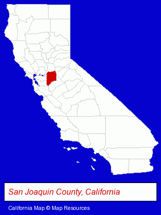
The California counties map at upper right shows San Joaquin County, highlighted in red. Use the menu below to display interactive maps of Manteca, either in a frame on this page or in full-screen mode.
Use the menu below to display categorized Manteca directories.
| Manteca Products and Services Directory | ||
|---|---|---|
| Dentists | Moving and Storage | Physicians |
Selected Manteca, California Listings
These representative Manteca listings provide some insight into the city's cultural environment and economic climate.- Prefabricated & Modular Buildings
- Prefabricated & Modular Buildings
- Hotels
- Hotel & Motel Reservations
- Osteopathic Physicians & Surgeons
- Ophthalmology Physicians & Surgeons
- Pediatrics Physicians & Surgeons
- General Surgeons
- Auto Body Repair & Painting
- Antiques
- Antique & Classic Auto Restoration & Repair
- Trucking Companies
- Moving & Storage Commercial & Industrial
- Heavy Duty Trucking
- Chiropractors
- Sports Medicine Physicians & Surgeons
- Pain Management Physicians & Surgeons
- Optometrists
- Osteopathic Physicians & Surgeons
- Ophthalmology Physicians & Surgeons
- Optometrists
- Optical Goods Retail
- Contact Lenses Retail
- Visual Training & Therapy Optometrists
- Construction Companies
- Commercial & Industrial Building Contractors
- Building Contractors
- Home Builders & Developers
- Beverages Retail
- Beverages Retail
- Optometrists
- Major Appliances Wholesale & Manufacturers
- Home Improvement & Maintenance
- Building & Home Construction
- Builders & Contractors
- Roofing Contractors
- Roofing
- Towing
Nearby California Cities and Towns *
- Brentwood (3) - Brentwood, California information and maps.
- Livermore (13) - Livermore, California demographics and directory.
- Lodi (6) - Lodi, California demographics and maps.
- Modesto (31) - Modesto, California solutions directory and maps.
- Stockton (25) - Stockton, California solutions directory and maps.
- Tracy (4) - Tracy, California information and maps.
- Turlock (7) - Turlock, California demographics and maps.
* Parenthesized numbers indicate economic activity levels.
Copyright © 2011-2026 RegionalDirectory.us. All rights reserved.