Oxnard, California Map and Directory
Regional Directory > States Menu > California
 According to the United States Census Bureau, Oxnard is a City that is located in Ventura County, California at 34.20 degrees North and 119.18 degrees West.
The city's time zone is America/Los Angeles, and the city's primary telephone area code is 805.
The land area of Oxnard is about 26.90 square miles, whereas the water area of the city is about 12.31 square miles.
Ventura County's land area is about 1,843 square miles, so the city occupies about 1.5 percent of the county's total land area.
According to the United States Census Bureau, Oxnard is a City that is located in Ventura County, California at 34.20 degrees North and 119.18 degrees West.
The city's time zone is America/Los Angeles, and the city's primary telephone area code is 805.
The land area of Oxnard is about 26.90 square miles, whereas the water area of the city is about 12.31 square miles.
Ventura County's land area is about 1,843 square miles, so the city occupies about 1.5 percent of the county's total land area.
The Census Bureau estimates that Oxnard had about 208,881 residents in 2019, which is approximately 7,765 people per square mile of land area.
According to recent American Community Survey data, the median household income in Oxnard was about $72,843 per year.
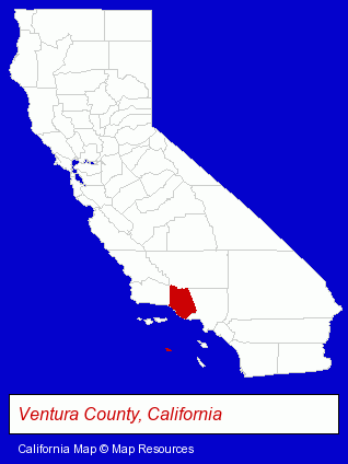
The California counties map at upper right shows Ventura County, highlighted in red. Use the menu below to display interactive maps of Oxnard, either in a frame on this page or in full-screen mode.
Use the menu below to display categorized Oxnard directories.
| Oxnard Products and Services Directory | ||
|---|---|---|
| Auto Service | Building Contractors | Cosmetic Dentists |
| Dentists | Printing and Publishing | Restaurants |
| Schools | ||
Selected Oxnard, California Listings
These randomly selected Oxnard listings provide some insight into the city's cultural environment and economic climate.- General Real Estate
- Movers
- Moving & Storage Commercial & Industrial
- Health Clubs & Gyms
- Exercise & Fitness Classes & Instruction
- Medical Equipment & Supplies Retail
- Medical Equipment Service & Repair
- Home Furnishings Stores
- Furniture Stores
- Auto Parts Retail
- Auto Emissions Testing & Repair
- Household Goods Moving & Storage
- Auto Paint
- Endodontics Dentists
- Marine Equipment & Supplies Retail
- Marine Professionals & Services
- Marine Equipment & Supplies Wholesale & Manufacturers
- Marine Equipment Service & Repair
- Animal Hospitals
- Sports & Recreation Facilities
- Auto Racing
- Auto Race Tracks
- Auto Race Track Equipment & Supplies
- Industrial Equipment & Supplies Wholesale & Manufacturers
- Industrial Equipment Parts & Accessories Wholesale & Manufacturers
- Plastic Molders
- Plastic Molds Manufacturers
Nearby California Cities and Towns *
- Camarillo (12) - Camarillo, California demographics and directory.
- Carpinteria (1) - Carpinteria, California information and maps.
- Moorpark (2) - Moorpark, California information and maps.
- Ojai (3) - Ojai, California information and maps.
- Simi Valley (18) - Simi Valley, California solutions directory and maps.
- Thousand Oaks (15) - Thousand Oaks, California demographics and directory.
- Westlake Village (12) - Westlake Village, California demographics and directory.
* Parenthesized numbers indicate economic activity levels.
Copyright © 2011-2026 RegionalDirectory.us. All rights reserved.