Vacaville, California Map and Directory
Regional Directory > States Menu > California
 According to the United States Census Bureau, Vacaville is a City that is located in Solano County, California at 38.36 degrees North and 121.99 degrees West.
The city's time zone is America/Los Angeles, and the city's primary telephone area code is 707.
The land area of Vacaville is about 28.81 square miles, whereas the water area of the city is about 0.21 square miles.
Solano County's land area is about 822 square miles, so the city occupies about 3.5 percent of the county's total land area.
According to the United States Census Bureau, Vacaville is a City that is located in Solano County, California at 38.36 degrees North and 121.99 degrees West.
The city's time zone is America/Los Angeles, and the city's primary telephone area code is 707.
The land area of Vacaville is about 28.81 square miles, whereas the water area of the city is about 0.21 square miles.
Solano County's land area is about 822 square miles, so the city occupies about 3.5 percent of the county's total land area.
The Census Bureau estimates that Vacaville had about 100,670 residents in 2019, which is approximately 3,494 people per square mile of land area.
According to recent American Community Survey data, the median household income in Vacaville was about $87,823 per year.
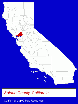
The California counties map at upper right shows Solano County, highlighted in red. Use the menu below to display interactive maps of Vacaville, either in a frame on this page or in full-screen mode.
Use the menu below to display categorized Vacaville directories.
| Vacaville Products and Services Directory | ||
|---|---|---|
| Accountants | Auto Dealers | Chiropractors |
| Party Planning | Physicians | Printing and Publishing |
| Schools | ||
Selected Vacaville, California Listings
These randomly selected Vacaville listings provide some insight into the city's cultural environment and economic climate.- Sewing Machine Dealers
- Electric Equipment Service & Repair
- Vacuum Cleaner Parts & Supplies Dealers
- Vacuum Cleaner Service & Repair Commercial & Industrial
- Truck Equipment, Parts & Accessories Retail
- Alarm System Dealers
- Burglar Alarm Systems & Monitoring
- Audiovisual Equipment Service & Repair
- Truck Caps & Tonneau Covers Retail
- Accounting, Auditing & Bookkeeping Services
- Tax Return Preparation
- Tax Return Preparation & Electronic Filing
- Notaries Public
- Clinics & Medical Centers
- Clinics
- Family & General Practice Physicians & Surgeons
- Alternative Medicine
- Chiropractors
- Alternative Medicine Practitioners
- Shoe Stores
- Attorneys
- Estate Planning & Administration Attorneys
- Real Estate Attorneys
- Estate Planning & Administration
- Publishers
- Magazine & Journal Publishers
- Hotels
- Motels
- Alternative Medicine
- Chiropractors
- Alternative Medicine Practitioners
- Alternative Medicine
- Chiropractors
- Chiropractic Clinics
Nearby California Cities and Towns *
- Benicia (3) - Benicia, California information and maps.
- Davis (10) - Davis, California demographics and directory.
- Dixon (2) - Dixon, California information and maps.
- Fairfield (4) - Fairfield, California information and maps.
- Martinez (7) - Martinez, California demographics and maps.
- Napa (20) - Napa, California solutions directory and maps.
- Vallejo (2) - Vallejo, California information and maps.
* Parenthesized numbers indicate economic activity levels.
Copyright © 2011-2026 RegionalDirectory.us. All rights reserved.