West Sacramento, California Map and Directory
Regional Directory > States Menu > California
 According to the United States Census Bureau, West Sacramento is a City that is located in Yolo County, California at 38.58 degrees North and 121.53 degrees West.
The city's time zone is America/Los Angeles, and the city's primary telephone area code is 530.
The land area of West Sacramento is about 21.50 square miles, whereas the water area of the city is about 1.35 square miles.
Yolo County's land area is about 1,015 square miles, so the city occupies about 2.1 percent of the county's total land area.
According to the United States Census Bureau, West Sacramento is a City that is located in Yolo County, California at 38.58 degrees North and 121.53 degrees West.
The city's time zone is America/Los Angeles, and the city's primary telephone area code is 530.
The land area of West Sacramento is about 21.50 square miles, whereas the water area of the city is about 1.35 square miles.
Yolo County's land area is about 1,015 square miles, so the city occupies about 2.1 percent of the county's total land area.
The Census Bureau estimates that West Sacramento had about 53,519 residents in 2019, which is approximately 2,489 people per square mile of land area.
According to recent American Community Survey data, the median household income in West Sacramento was about $70,699 per year.
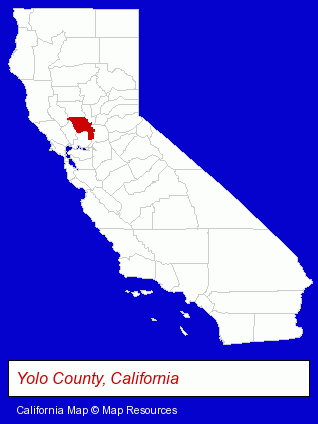
The California counties map at upper right shows Yolo County, highlighted in red. Use the menu below to display interactive maps of West Sacramento, either in a frame on this page or in full-screen mode.
Use the menu below to display categorized West Sacramento directories.
| West Sacramento Directory Page: | Auto Service |
|---|
Selected West Sacramento, California Listings
These West Sacramento listings provide some insight into the city's cultural environment and economic climate.- Building & Home Construction
- Building Contractors
- Truck Dealers
- Auto Parts Wholesale & Manufacturers
- Used Trucks
- Truck Parts & Equipment Wholesale & Manufacturers
- Security Systems & Services
- Police Equipment & Supplies
- Bowling Alleys
- Business Services
- Management Consultants
- Business Management Services
- Auto Glass Retail
- Outdoor Furniture Retail
- Furniture Accessories
- Publishers
- Newspaper Publishers
- Schools
- Elementary & Secondary Education
- Elementary Schools
- Private Schools
- Religious Education Schools
- Beauty Salons
- Manicures & Pedicures
- Charitable & Nonprofit Organizations
- Business & Professional Associations & Organizations
- Pest Control Services
- Charitable & Nonprofit Organizations
- Boat Dealers
- Boat & Yacht Charters, Rental & Leasing
- Air Conditioning Contractors
- Electric Contractors Residential
- Moving & Storage
- Movers
- Importers
- Take Out
- Bakeries
- Meats Retail
- Delicatessens
- Heating Contractors
- Heating & Air Conditioning Contractors
- Air Conditioning Contractors
- Plumbing Service & Repair
- Schools
- Public Schools
- Florists
- Floral & Balloon Arrangements
- Artificial Flowers & Trees Retail
Nearby California Cities and Towns *
- Carmichael (4) - Carmichael, California information and maps.
- Davis (10) - Davis, California demographics and directory.
- Elk Grove (15) - Elk Grove, California demographics and directory.
- North Highlands (2) - North Highlands, California information and maps.
- Rancho Cordova (15) - Rancho Cordova, California demographics and directory.
- Sacramento (115) - Sacramento, California products & services directory.
- Woodland (5) - Woodland, California demographics and maps.
* Parenthesized numbers indicate economic activity levels.
Copyright © 2011-2026 RegionalDirectory.us. All rights reserved.