Yorba Linda, California Map and Directory
Regional Directory > States Menu > California
 According to the United States Census Bureau, Yorba Linda is a City that is located in Orange County, California at 33.89 degrees North and 117.81 degrees West.
The city's time zone is America/Los Angeles, and the city's primary telephone area code is 657.
The land area of Yorba Linda is about 19.31 square miles, whereas the water area of the city is about 0.55 square miles.
Orange County's land area is about 791 square miles, so the city occupies about 2.4 percent of the county's total land area.
According to the United States Census Bureau, Yorba Linda is a City that is located in Orange County, California at 33.89 degrees North and 117.81 degrees West.
The city's time zone is America/Los Angeles, and the city's primary telephone area code is 657.
The land area of Yorba Linda is about 19.31 square miles, whereas the water area of the city is about 0.55 square miles.
Orange County's land area is about 791 square miles, so the city occupies about 2.4 percent of the county's total land area.
The Census Bureau estimates that Yorba Linda had about 67,644 residents in 2019, which is approximately 3,503 people per square mile of land area.
According to recent American Community Survey data, the median household income in Yorba Linda was about $129,995 per year.
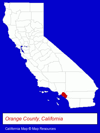
The California counties map at upper right shows Orange County, highlighted in red. Use the menu below to display interactive maps of Yorba Linda, either in a frame on this page or in full-screen mode.
Use the menu below to display categorized Yorba Linda directories.
| Yorba Linda Products and Services Directory | ||
|---|---|---|
| Auto Service | Home Improvement | Information Technology |
| Optometrists | Painting Contractors | Restaurants |
| Steak Restaurants | ||
Selected Yorba Linda, California Listings
These randomly selected Yorba Linda listings provide some insight into the city's cultural environment and economic climate. B & K Precision Corporation- Electric Equipment & Supplies Dealers
- Electronic Equipment & Supplies Wholesale & Manufacturers
- Dentists
- Wallpaper & Wallcoverings Contractors
- Grocery Stores & Supermarkets
- Canners & Food Processors
- Beverages Retail
- Medical Equipment & Supplies Retail
Nearby California Cities and Towns *
- Anaheim (42) - Anaheim, California products & services directory.
- Brea (10) - Brea, California demographics and directory.
- Fullerton (13) - Fullerton, California demographics and directory.
- Garden Grove (10) - Garden Grove, California demographics and directory.
- Orange (39) - Orange, California products & services directory.
- Santa Ana (36) - Santa Ana, California products & services directory.
- Tustin (20) - Tustin, California solutions directory and maps.
* Parenthesized numbers indicate economic activity levels.
Copyright © 2011-2026 RegionalDirectory.us. All rights reserved.