Cape Coral, Florida Map and Directory
Regional Directory > States Menu > Florida
 According to the United States Census Bureau, Cape Coral is a City that is located in Lee County, Florida at 26.56 degrees North and 81.95 degrees West.
The city's time zone is America/New York, and the city's primary telephone area code is 941.
The land area of Cape Coral is about 105.65 square miles, whereas the water area of the city is about 14.95 square miles.
Lee County's land area is about 785 square miles, so the city occupies about 13.5 percent of the county's total land area.
According to the United States Census Bureau, Cape Coral is a City that is located in Lee County, Florida at 26.56 degrees North and 81.95 degrees West.
The city's time zone is America/New York, and the city's primary telephone area code is 941.
The land area of Cape Coral is about 105.65 square miles, whereas the water area of the city is about 14.95 square miles.
Lee County's land area is about 785 square miles, so the city occupies about 13.5 percent of the county's total land area.
The Census Bureau estimates that Cape Coral had about 194,495 residents in 2019, which is approximately 1,841 people per square mile of land area.
According to recent American Community Survey data, the median household income in Cape Coral was about $61,599 per year. This Cape Coral Real Estate directory lists real estate solution providers in Cape Coral, Florida.
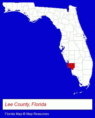
The Florida counties map at upper right shows Lee County, highlighted in red. Use the menu below to display interactive maps of Cape Coral, either in a frame on this page or in full-screen mode.
Use the menu below to display categorized Cape Coral directories.
| Cape Coral Products and Services Directory | ||
|---|---|---|
| Accountants | Attorneys | Building Materials |
| Cleaning Services | Dentists | Electric Contractors |
| Heating Contractors | Home Improvement | Information Technology |
| Metals | Physicians | Printing and Publishing |
Selected Cape Coral, Florida Listings
These randomly selected Cape Coral listings provide some insight into the city's cultural environment and economic climate.- Water Filtration Equipment Retail
- Rehabilitation Services
- Medical Equipment & Supplies Retail
- Physical Therapists
- Physical Therapy
- Hospital Equipment & Supplies Retail
- Personal Injury Attorneys
- Criminal Law Attorneys
- Employment & Labor Law Attorneys
- Trial Attorneys
- Marine Equipment & Supplies Retail
- Marine Equipment & Supplies Wholesale & Manufacturers
- Marine Contractors & Designers
- Printing Services
- Commercial Printing
- Sign Dealers
- Heating & Air Conditioning Contractors
- Air Conditioning Contractors
- Commercial Air Conditioning Contractors
- Swimming Pool & Spa Construction & Contractors
- Home Furnishings Stores
- Furniture Stores
- Fence Dealers
- Fence Posts, Accessories & Fittings
- Computer Consultants
- Computer Systems Consultants & Designers
- Homes & Residential Real Estate
- Financial Services
- General Real Estate
- Financial Planning Consultants & Services
- Florists
- Floral & Balloon Arrangements
- Artificial Flowers & Trees Retail
Nearby Florida Cities and Towns *
- Bonita Springs (5) - Bonita Springs, Florida demographics and maps.
- Captiva (3) - Captiva, Florida information and maps.
- Fort Myers (43) - Fort Myers, Florida products & services directory.
- Fort Myers Beach (2) - Fort Myers Beach, Florida information and maps.
- Lehigh Acres (1) - Lehigh Acres, Florida information and maps.
- North Fort Myers (1) - North Fort Myers, Florida information and maps.
- Sanibel (4) - Sanibel, Florida information and maps.
* Parenthesized numbers indicate economic activity levels.
Copyright © 2011-2026 RegionalDirectory.us. All rights reserved.