Merritt Island, Florida Map and Directory
Regional Directory > States Menu > Florida
 According to the United States Census Bureau, Merritt Island is a Census-designated Place that is located in Brevard County, Florida at 28.54 degrees North and 80.67 degrees West.
The place's time zone is America/New York, and the place's primary telephone area code is 321.
The land area of Merritt Island is about 17.53 square miles, whereas the water area of the place is about 29.66 square miles.
Brevard County's land area is about 1,016 square miles, so the place occupies about 1.7 percent of the county's total land area.
According to the United States Census Bureau, Merritt Island is a Census-designated Place that is located in Brevard County, Florida at 28.54 degrees North and 80.67 degrees West.
The place's time zone is America/New York, and the place's primary telephone area code is 321.
The land area of Merritt Island is about 17.53 square miles, whereas the water area of the place is about 29.66 square miles.
Brevard County's land area is about 1,016 square miles, so the place occupies about 1.7 percent of the county's total land area.
The Census Bureau estimates that Merritt Island had about 36,532 residents in 2019, which is approximately 2,084 people per square mile of land area.
According to recent American Community Survey data, the median household income in Merritt Island was about $64,865 per year.
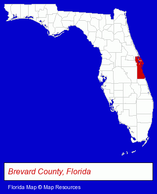
The Florida counties map at upper right shows Brevard County, highlighted in red. Use the menu below to display interactive maps of Merritt Island, either in a frame on this page or in full-screen mode.
Use the menu below to display categorized Merritt Island directories.
| Merritt Island Products and Services Directory | |
|---|---|
| Home Improvement | Schools |
Selected Merritt Island, Florida Listings
These representative Merritt Island listings provide some insight into the place's cultural environment and economic climate.- Bus Travel
- Airport Transportation
- Bus Charter & Rental
- Limousine Services
- Taxi Services
- Swimming Pool Dealers
- Water Sports
- Scuba & Skin Diving
- Diving Instruction
- Diving Equipment & Supplies
- Business Services
- Business Consultants & Advisors
- Advertising
- Advertising Agencies & Consultants
- Advertising & Design Agencies
- Musical Instruments Retail
- Lodging
- Hotels
- Motels
- Auto Parts Retail
- Marine Equipment & Supplies Retail
- Marine Professionals & Services
- Marine Equipment Service & Repair
- Importers
- Fruits & Vegetables Retail
- Fruits & Vegetables Wholesale
- Elementary & Secondary Education
- Elementary Schools
- Office Supplies Retail
- Office Furniture & Equipment Dealers
- Packaging & Shipping Materials Retail
- Labeling Equipment & Supplies
- Labels & Tags
- Cosmetic Dentists
- Maxillofacial Physicians & Surgeons
- Printing & Publishing
- Publishers
- Magazine & Journal Publishers
Nearby Florida Cities and Towns *
- Cape Canaveral (1) - Cape Canaveral, Florida information and maps.
- Cocoa (7) - Cocoa, Florida demographics and maps.
- Melbourne (28) - Melbourne, Florida solutions directory and maps.
- Oviedo (3) - Oviedo, Florida information and maps.
- Palm Bay (1) - Palm Bay, Florida information and maps.
- Rockledge (1) - Rockledge, Florida information and maps.
- Titusville (6) - Titusville, Florida demographics and maps.
* Parenthesized numbers indicate economic activity levels.
Copyright © 2011-2026 RegionalDirectory.us. All rights reserved.