Ocala, Florida Map and Directory
Regional Directory > States Menu > Florida
 According to the United States Census Bureau, Ocala is a City that is located in Marion County, Florida at 29.19 degrees North and 82.14 degrees West.
The city's time zone is America/New York, and the city's primary telephone area code is 352.
The land area of Ocala is about 44.96 square miles, whereas the water area of the city is about 0.00 square miles.
Marion County's land area is about 1,585 square miles, so the city occupies about 2.8 percent of the county's total land area.
According to the United States Census Bureau, Ocala is a City that is located in Marion County, Florida at 29.19 degrees North and 82.14 degrees West.
The city's time zone is America/New York, and the city's primary telephone area code is 352.
The land area of Ocala is about 44.96 square miles, whereas the water area of the city is about 0.00 square miles.
Marion County's land area is about 1,585 square miles, so the city occupies about 2.8 percent of the county's total land area.
The Census Bureau estimates that Ocala had about 60,786 residents in 2019, which is approximately 1,352 people per square mile of land area.
According to recent American Community Survey data, the median household income in Ocala was about $41,755 per year. This Ocala Real Estate directory lists real estate agencies and brokers in Ocala, Florida.
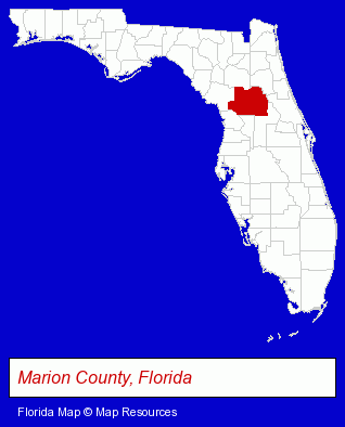
The Florida counties map at upper right shows Marion County, highlighted in red. Use the menu below to display interactive maps of Ocala, either in a frame on this page or in full-screen mode.
Use the menu below to display categorized Ocala directories.
| Ocala Products and Services Directory | ||
|---|---|---|
| Attorneys | Auto Service | Building Materials |
| Dentists | Home Improvement | Information Technology |
| Metals | Moving and Storage | Physicians |
| Printing and Publishing | Schools | Veterinarians |
Selected Ocala, Florida Listings
These randomly selected Ocala listings provide some insight into the city's cultural environment and economic climate.- Building & Home Construction
- Pest Control Services
- Real Estate Inspection Services
- Home & Building Inspection
- Industrial Equipment & Supplies Dealers
- Electronic Equipment & Supplies Retail
- Electronic Control Systems
- Publishers
- Book Publishers
- Charitable & Nonprofit Organizations
- Cultural Attractions, Events & Facilities
- Tourist Information & Attractions
- Museums
- Beauty Salons
- Medical Equipment & Supplies Retail
- Hair Care & Treatment
- Hospital Equipment & Supplies Retail
- Skin Care Products
- Agricultural Equipment & Supplies Retail
- Building & Home Construction
- Real Estate Inspection Services
- Home & Building Inspection
- Inspection Services
- Advertising
- Sign Dealers
- Signs Wholesale & Manufacturers
- Commercial Signs
- Outdoor Advertising & Billboards
- Orthodontics Dentists
- Engineers
- Sporting Goods Dealers
- Manufacturing Engineers
- Floors & Flooring Contractors
- Floors & Flooring Installation
- Colleges & Universities
Nearby Florida Cities and Towns *
- Gainesville (31) - Gainesville, Florida solutions directory and maps.
- Inverness (1) - Inverness, Florida information and maps.
- Lecanto (1) - Lecanto, Florida information and maps.
- Leesburg (1) - Leesburg, Florida information and maps.
- Wildwood (1) - Wildwood, Florida information and maps.
* Parenthesized numbers indicate economic activity levels.
Copyright © 2011-2026 RegionalDirectory.us. All rights reserved.