Jonesboro, Georgia Map and Directory
Regional Directory > States Menu > Georgia
 According to the United States Census Bureau, Jonesboro is a City that is located in Clayton County, Georgia at 33.52 degrees North and 84.35 degrees West.
The city's time zone is America/New York, and the city's primary telephone area code is 770.
The land area of Jonesboro is about 2.53 square miles, whereas the water area of the city is about 0.02 square miles.
Clayton County's land area is about 142 square miles, so the city occupies about 1.8 percent of the county's total land area.
According to the United States Census Bureau, Jonesboro is a City that is located in Clayton County, Georgia at 33.52 degrees North and 84.35 degrees West.
The city's time zone is America/New York, and the city's primary telephone area code is 770.
The land area of Jonesboro is about 2.53 square miles, whereas the water area of the city is about 0.02 square miles.
Clayton County's land area is about 142 square miles, so the city occupies about 1.8 percent of the county's total land area.
The Census Bureau estimates that Jonesboro had about 4,624 residents in 2014, which is approximately 1,828 people per square mile of land area.
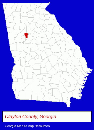
The Georgia counties map at upper right shows Clayton County, highlighted in red. Use the menu below to display interactive maps of Jonesboro, either in a frame on this page or in full-screen mode.
Use the menu below to display categorized Jonesboro directories.
| Jonesboro Products and Services Directory | |
|---|---|
| Attorneys | Home Improvement |
Selected Jonesboro, Georgia Listings
These representative Jonesboro listings provide some insight into the city's cultural environment and economic climate.- Insurance
- Auto Insurance
- Personal Injury Attorneys
- Criminal Law Attorneys
- Family Law Attorneys
- Estate Planning & Administration Attorneys
- Libraries
- Office Supplies Retail
- Office Furniture & Equipment Dealers
- Office Supplies Wholesale & Manufacturers
- Family Law Attorneys
- Bankruptcy Attorneys
- Divorce Attorneys
- Bankruptcy Services
- Banks
- Swimming Pool & Spa Construction & Contractors
- Swimming Pool Service & Repair
- Swimming Pool Coping, Plastering & Tiling
- Swimming Pools Installers
- Personal Injury Attorneys
- Criminal Law Attorneys
- Family Law Attorneys
- Divorce Attorneys
- Truck Dealers
- Landscape Contractors
- Landscape Services
- Landscape Designers & Consultants
Nearby Georgia Cities and Towns *
- Atlanta (108) - Atlanta, Georgia products & services directory.
- Decatur (12) - Decatur, Georgia demographics and directory.
- Fayetteville (2) - Fayetteville, Georgia information and maps.
- Griffin (2) - Griffin, Georgia information and maps.
- McDonough (2) - McDonough, Georgia information and maps.
- Peachtree City (7) - Peachtree City, Georgia demographics and maps.
- Stockbridge (4) - Stockbridge, Georgia information and maps.
* Parenthesized numbers indicate economic activity levels.
Copyright © 2011-2026 RegionalDirectory.us. All rights reserved.