Lilburn, Georgia Map and Directory
Regional Directory > States Menu > Georgia
 According to the United States Census Bureau, Lilburn is a City that is located in Gwinnett County, Georgia at 33.89 degrees North and 84.14 degrees West.
The city's time zone is America/New York, and the city's primary telephone area code is 770.
The land area of Lilburn is about 6.39 square miles, whereas the water area of the city is about 0.05 square miles.
Gwinnett County's land area is about 430 square miles, so the city occupies about 1.5 percent of the county's total land area.
According to the United States Census Bureau, Lilburn is a City that is located in Gwinnett County, Georgia at 33.89 degrees North and 84.14 degrees West.
The city's time zone is America/New York, and the city's primary telephone area code is 770.
The land area of Lilburn is about 6.39 square miles, whereas the water area of the city is about 0.05 square miles.
Gwinnett County's land area is about 430 square miles, so the city occupies about 1.5 percent of the county's total land area.
The Census Bureau estimates that Lilburn had about 12,810 residents in 2019, which is approximately 2,005 people per square mile of land area.
According to recent American Community Survey data, the median household income in Lilburn was about $58,151 per year.
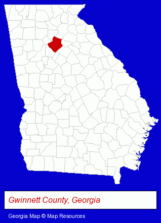
The Georgia counties map at upper right shows Gwinnett County, highlighted in red. Use the menu below to display interactive maps of Lilburn, either in a frame on this page or in full-screen mode.
Use the menu below to display categorized Lilburn directories.
| Lilburn Directory Page: | Schools |
|---|
Selected Lilburn, Georgia Listings
These Lilburn listings provide some insight into the city's cultural environment and economic climate.- Plumbing Contractors
- Tours & Charters
- Golf Tours
- Clothing Wholesale & Manufacturers
- Embroidery & Needlework
- Embroidery Service
- Clothing & Accessories Cleaning & Repair
- Orthopedic Shoes Retail
- Business Consultants & Advisors
- Management Consultants
- Business Management Services
- Landscape Contractors
- Landscape Services
- Landscape Designers & Consultants
- Lawn & Garden Sprinklers Installation & Service
- Lawn & Garden Equipment Service & Repair
- Alternative Medicine
- Chiropractors
- Alternative Medicine Practitioners
- Elementary & Secondary Education
- Elementary Schools
- Private Schools
- Landscape Contractors
- Landscape Services
- Landscape Designers & Consultants
- Information Technology Services
- Computer & Equipment Dealers
- Computer Consultants
- Information Technology Services
- Internet Products & Services
Nearby Georgia Cities and Towns *
- Decatur (12) - Decatur, Georgia demographics and directory.
- Duluth (13) - Duluth, Georgia demographics and directory.
- Lawrenceville (10) - Lawrenceville, Georgia demographics and directory.
- Norcross (15) - Norcross, Georgia demographics and directory.
- Stone Mountain (2) - Stone Mountain, Georgia information and maps.
- Suwanee (5) - Suwanee, Georgia demographics and maps.
- Tucker (4) - Tucker, Georgia information and maps.
* Parenthesized numbers indicate economic activity levels.
Copyright © 2011-2026 RegionalDirectory.us. All rights reserved.