Nampa, Idaho Map and Directory
Regional Directory > States Menu > Idaho
 According to the United States Census Bureau, Nampa is a City that is located in Canyon County, Idaho at 43.54 degrees North and 116.56 degrees West.
The city's time zone is America/Boise, and the city's primary telephone area code is 208.
The land area of Nampa is about 31.05 square miles, whereas the water area of the city is about 0.15 square miles.
Canyon County's land area is about 587 square miles, so the city occupies about 5.3 percent of the county's total land area.
According to the United States Census Bureau, Nampa is a City that is located in Canyon County, Idaho at 43.54 degrees North and 116.56 degrees West.
The city's time zone is America/Boise, and the city's primary telephone area code is 208.
The land area of Nampa is about 31.05 square miles, whereas the water area of the city is about 0.15 square miles.
Canyon County's land area is about 587 square miles, so the city occupies about 5.3 percent of the county's total land area.
The Census Bureau estimates that Nampa had about 99,277 residents in 2019, which is approximately 3,197 people per square mile of land area.
According to recent American Community Survey data, the median household income in Nampa was about $48,846 per year.
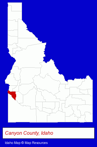
The Idaho counties map at upper right shows Canyon County, highlighted in red. Use the menu below to display interactive maps of Nampa, either in a frame on this page or in full-screen mode.
Use the menu below to display categorized Nampa directories.
| Nampa Products and Services Directory | ||
|---|---|---|
| Attorneys | Auto Service | Building Contractors |
| Building Materials | Bus Travel | Construction Companies |
| Dentists | Home Improvement | Insurance |
| Landscape Contractors | Metals | Orthodontics Dentists |
| Physicians | Restaurants | Schools |
Selected Nampa, Idaho Listings
These randomly selected Nampa listings provide some insight into the city's cultural environment and economic climate.- Advertising
- Sign Dealers
- Signs Wholesale & Manufacturers
- Commercial Signs
- Flags, Flagpoles, Banners & Pennants Commercial
- Concrete Contractors
- Patio, Porch, Deck & Gazebo Builders
- Deck Designers & Builders
- Mortgages
- Credit Unions
- Aircraft Manufacturers
- Building & Home Construction
- Special Trades Contractors
- Electric Contractors
- Electric Contractors Residential
- Legal Services
- Estate Planning & Administration
- Legal Services
- Sporting Goods Dealers
- Sporting Goods
- Football Clubs & Instruction
- Landscape Services
- Accountants
- Certified Public Accountants
- Water & Sewage Companies
- Water Utility Companies
- Local Government
- General Practice
- Door & Window Dealers
- Windows & Parts Dealers
- Beauty Salons
- Hair Care & Treatment
- Manicures & Pedicures
- Tanning Salons
- Building & Home Construction
- Special Trades Contractors
- Electric Contractors
- Electric Contractors Residential
Nearby Idaho Cities and Towns *
- Boise (85) - Boise, Idaho products & services directory.
- Caldwell (4) - Caldwell, Idaho information and maps.
- Eagle (6) - Eagle, Idaho demographics and maps.
- Garden City (3) - Garden City, Idaho information and maps.
- Kuna (1) - Kuna, Idaho information and maps.
- Meridian (21) - Meridian, Idaho solutions directory and maps.
* Parenthesized numbers indicate economic activity levels.
Copyright © 2011-2026 RegionalDirectory.us. All rights reserved.