Chicago Heights, Illinois Map and Directory
Regional Directory > States Menu > Illinois
 According to the United States Census Bureau, Chicago Heights is a City that is located in Cook County, Illinois at 41.51 degrees North and 87.64 degrees West.
The city's time zone is America/Chicago, and the city's primary telephone area code is 708.
The land area of Chicago Heights is about 10.19 square miles, whereas the water area of the city is about 0.01 square miles.
Cook County's land area is about 945 square miles, so the city occupies about 1.1 percent of the county's total land area.
According to the United States Census Bureau, Chicago Heights is a City that is located in Cook County, Illinois at 41.51 degrees North and 87.64 degrees West.
The city's time zone is America/Chicago, and the city's primary telephone area code is 708.
The land area of Chicago Heights is about 10.19 square miles, whereas the water area of the city is about 0.01 square miles.
Cook County's land area is about 945 square miles, so the city occupies about 1.1 percent of the county's total land area.
The Census Bureau estimates that Chicago Heights had about 29,322 residents in 2019, which is approximately 2,878 people per square mile of land area.
According to recent American Community Survey data, the median household income in Chicago Heights was about $50,186 per year.
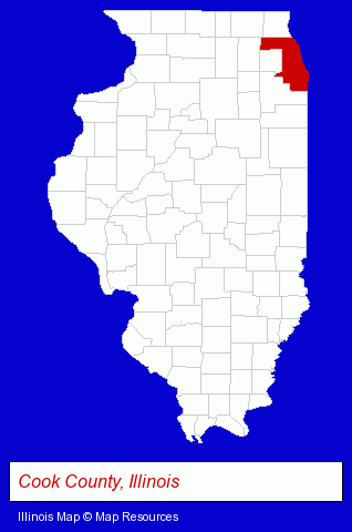
The Illinois counties map at upper right shows Cook County, highlighted in red. Use the menu below to display interactive maps of Chicago Heights, either in a frame on this page or in full-screen mode.
Use the menu below to display categorized Chicago Heights directories.
| Chicago Heights Directory Page: | Schools |
|---|
Selected Chicago Heights, Illinois Listings
These Chicago Heights listings provide some insight into the city's cultural environment and economic climate.- Accountants
- Certified Public Accountants
- Tax Return Preparation
- Restaurants
- American Restaurants
- Brake Service & Repair
- Auto Oil & Lube
- Insurance
- Auto Insurance
- Auto Parts Retail
- Financial Services
- Accountants
- Public Accountants
- Accounting, Auditing & Bookkeeping Services
- Certified Public Accountants
- Industrial Equipment & Supplies Dealers
- Industrial Equipment & Supplies Wholesale & Manufacturers
- Chemicals Wholesale & Manufacturers
- Chemicals Dealers
- Elementary & Secondary Education
- Elementary Schools
- Colleges & Universities
- Vocational Education
- Railroads
- Railroad Maintenance & Equipment
- Passenger Railroads
- Industrial Equipment Rebuilding, Service & Repair
- Machine Tools Rebuilding & Repair
- Industrial Equipment & Supplies Wholesale & Manufacturers
- Tool & Die Makers
- Truck Equipment, Parts & Accessories Retail
- Truck Parts & Equipment Wholesale & Manufacturers
- Auto Parts Wholesale & Manufacturers
- Truck Equipment, Parts & Accessories Retail
- Truck Parts & Equipment Wholesale & Manufacturers
Nearby Illinois Cities and Towns *
- Alsip (7) - Alsip, Illinois demographics and maps.
- Homewood (2) - Homewood, Illinois information and maps.
- Lansing (2) - Lansing, Illinois information and maps.
- Oak Forest (2) - Oak Forest, Illinois information and maps.
- South Holland (2) - South Holland, Illinois information and maps.
- Tinley Park (11) - Tinley Park, Illinois demographics and directory.
* Parenthesized numbers indicate economic activity levels.
Copyright © 2011-2026 RegionalDirectory.us. All rights reserved.