Des Plaines, Illinois Map and Directory
Regional Directory > States Menu > Illinois
 According to the United States Census Bureau, Des Plaines is a City that is located in Cook County, Illinois at 42.03 degrees North and 87.88 degrees West.
The city's time zone is America/Chicago, and the city's primary telephone area code is 847.
The land area of Des Plaines is about 14.27 square miles, whereas the water area of the city is about 0.15 square miles.
Cook County's land area is about 945 square miles, so the city occupies about 1.5 percent of the county's total land area.
According to the United States Census Bureau, Des Plaines is a City that is located in Cook County, Illinois at 42.03 degrees North and 87.88 degrees West.
The city's time zone is America/Chicago, and the city's primary telephone area code is 847.
The land area of Des Plaines is about 14.27 square miles, whereas the water area of the city is about 0.15 square miles.
Cook County's land area is about 945 square miles, so the city occupies about 1.5 percent of the county's total land area.
The Census Bureau estimates that Des Plaines had about 58,899 residents in 2019, which is approximately 4,127 people per square mile of land area.
According to recent American Community Survey data, the median household income in Des Plaines was about $69,760 per year.
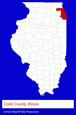
The Illinois counties map at upper right shows Cook County, highlighted in red. Use the menu below to display interactive maps of Des Plaines, either in a frame on this page or in full-screen mode.
Use the menu below to display categorized Des Plaines directories.
| Des Plaines Products and Services Directory | ||
|---|---|---|
| Accountants | Attorneys | Auto Service |
| Building Contractors | Building Materials | Business Services |
| Concrete Contractors | Dentists | Financial Services |
| Home Improvement | Insurance | Metals |
| Physicians | Restaurants | Roofing Contractors |
| Vocational Education | ||
Selected Des Plaines, Illinois Listings
These randomly selected Des Plaines listings provide some insight into the city's cultural environment and economic climate.- Property & Casualty Insurance
- Business Insurance
- Boat & Yacht Insurance
- Motorcycle Insurance
- Building Remodeling & Repair Contractors
- Construction Companies
- American Restaurants
- Italian Restaurants
- Sports Bars
- Bankruptcy Services
- Landscape Contractors
- Public Accountants
- Certified Public Accountants
- Builders & Contractors
- Building Contractors
- Construction Companies
- Building Construction & Design Consultants
- Churches
- Medical Equipment & Supplies Retail
- Hospital Supplies
- Roofing Consultants
- Industrial Equipment & Supplies Dealers
- Importers
- Machine Tool Dealers
- Used & Rebuilt Industrial Equipment Dealers
- Computer Consultants
- Computer Systems Consultants & Designers
Nearby Illinois Cities and Towns *
- Arlington Heights (25) - Arlington Heights, Illinois solutions directory and maps.
- Bensenville (9) - Bensenville, Illinois demographics and directory.
- Elk Grove Village (28) - Elk Grove Village, Illinois solutions directory and maps.
- Mount Prospect (8) - Mount Prospect, Illinois demographics and maps.
- Niles (8) - Niles, Illinois demographics and maps.
- Park Ridge (14) - Park Ridge, Illinois demographics and directory.
- Schiller Park (4) - Schiller Park, Illinois information and maps.
* Parenthesized numbers indicate economic activity levels.
Copyright © 2011-2026 RegionalDirectory.us. All rights reserved.