Glendale Heights, Illinois Map and Directory
Regional Directory > States Menu > Illinois
 According to the United States Census Bureau, Glendale Heights is a Village that is located in DuPage County, Illinois at 41.91 degrees North and 88.07 degrees West.
The village's time zone is America/Chicago, and the village's primary telephone area code is 630.
The land area of Glendale Heights is about 5.37 square miles, whereas the water area of the village is about 0.14 square miles.
DuPage County's land area is about 328 square miles, so the village occupies about 1.6 percent of the county's total land area.
According to the United States Census Bureau, Glendale Heights is a Village that is located in DuPage County, Illinois at 41.91 degrees North and 88.07 degrees West.
The village's time zone is America/Chicago, and the village's primary telephone area code is 630.
The land area of Glendale Heights is about 5.37 square miles, whereas the water area of the village is about 0.14 square miles.
DuPage County's land area is about 328 square miles, so the village occupies about 1.6 percent of the county's total land area.
The Census Bureau estimates that Glendale Heights had about 33,617 residents in 2019, which is approximately 6,260 people per square mile of land area.
According to recent American Community Survey data, the median household income in Glendale Heights was about $68,495 per year.
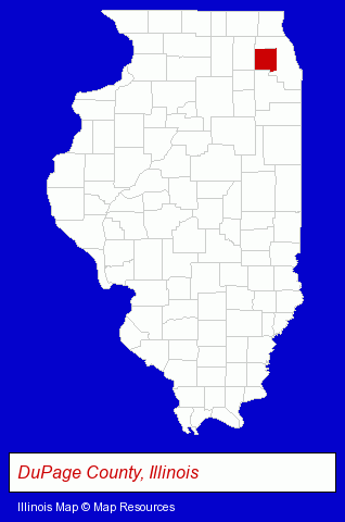
The Illinois counties map at upper right shows DuPage County, highlighted in red. Use the menu below to display interactive maps of Glendale Heights, either in a frame on this page or in full-screen mode.
Use the menu below to display categorized Glendale Heights directories.
| Glendale Heights Products and Services Directory | ||
|---|---|---|
| Building Materials | Home Improvement | Restaurants |
Selected Glendale Heights, Illinois Listings
These representative Glendale Heights listings provide some insight into the village's cultural environment and economic climate.- Pest Control Services
- Property & Casualty Insurance
- Business Insurance
- Boat & Yacht Insurance
- Motorcycle Insurance
- HVAC Equipment & Supplies Dealers
- Exporters
- Electronic Equipment & Supplies Wholesale & Manufacturers
- Government Contractors
- Construction Companies
- Construction Consulting & Management Services
- Business Services
- Business Consultants & Advisors
- Management Consultants
- Business Management Services
- Attorneys
- Family Law Attorneys
- Employment & Labor Law Attorneys
- Auto Dealers
- Security Systems & Services
- Fire Departments
- Fire Department Equipment & Supplies
- Cleaning Equipment & Supplies Retail
- Steam Cleaning Equipment & Supplies Retail
- Industrial Equipment & Supplies Dealers
- Industrial Equipment & Supplies Wholesale & Manufacturers
- Oriental Restaurants
- Door & Door Frame Dealers
- Marine Equipment & Supplies Wholesale & Manufacturers
- Government Contractors
- Shopping Centers & Malls
- Metal Stamping
- Coffee & Tea Shops
- Auto Dealers
- Truck Dealers
- Government Contractors
- Sheet Metal Contractors
- Chiropractors
Nearby Illinois Cities and Towns *
- Addison (12) - Addison, Illinois demographics and directory.
- Bloomingdale (4) - Bloomingdale, Illinois information and maps.
- Carol Stream (7) - Carol Stream, Illinois demographics and maps.
- Glen Ellyn (6) - Glen Ellyn, Illinois demographics and maps.
- Lombard (14) - Lombard, Illinois demographics and directory.
- Villa Park (6) - Villa Park, Illinois demographics and maps.
- Wheaton (16) - Wheaton, Illinois demographics and directory.
* Parenthesized numbers indicate economic activity levels.
Copyright © 2011-2026 RegionalDirectory.us. All rights reserved.