Mundelein, Illinois Map and Directory
Regional Directory > States Menu > Illinois
 According to the United States Census Bureau, Mundelein is a Village that is located in Lake County, Illinois at 42.26 degrees North and 88.00 degrees West.
The village's time zone is America/Chicago, and the village's primary telephone area code is 847.
The land area of Mundelein is about 9.57 square miles, whereas the water area of the village is about 0.39 square miles.
Lake County's land area is about 444 square miles, so the village occupies about 2.2 percent of the county's total land area.
According to the United States Census Bureau, Mundelein is a Village that is located in Lake County, Illinois at 42.26 degrees North and 88.00 degrees West.
The village's time zone is America/Chicago, and the village's primary telephone area code is 847.
The land area of Mundelein is about 9.57 square miles, whereas the water area of the village is about 0.39 square miles.
Lake County's land area is about 444 square miles, so the village occupies about 2.2 percent of the county's total land area.
The Census Bureau estimates that Mundelein had about 31,051 residents in 2019, which is approximately 3,245 people per square mile of land area.
According to recent American Community Survey data, the median household income in Mundelein was about $93,027 per year.
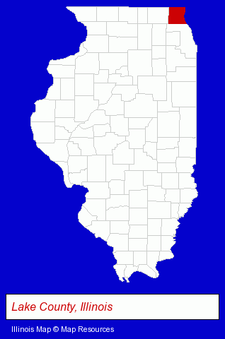
The Illinois counties map at upper right shows Lake County, highlighted in red. Use the menu below to display interactive maps of Mundelein, either in a frame on this page or in full-screen mode.
Use the menu below to display categorized Mundelein directories.
| Mundelein Products and Services Directory | ||
|---|---|---|
| Auto Service | Home Improvement | Insurance |
| Landscape Contractors | Printing and Publishing | Recreation Centers |
| Restaurants | ||
Selected Mundelein, Illinois Listings
These randomly selected Mundelein listings in 60060 provide a window into the village's cultural environment and economic climate. Alef Sausage & Deli- Take Out
- Collection Agencies
- Paving Contractors
- Asphalt & Asphalt Products
- Industrial Equipment Rebuilding, Service & Repair
- Brake Service & Repair
- Musical Instruments Retail
- Musical Instrument Service & Repair
- Musical Instrument Rental & Leasing
- Violins
- Pest Control Services
- Animal Trappers
- Garden Centers
- Lawn Services
- Lawn Mowing Services
- Office Furniture & Equipment Dealers
- Office Furniture & Equipment Wholesale & Manufacturers
- Auto Body Repair & Painting
- Antique & Classic Auto Restoration & Repair
- Auto Body Equipment & Supplies Retail
- Auto Body Parts
- Pet Sitting & Day Care
- Chiropractors
- Steak Restaurants
- Banks
- Accounting, Auditing & Bookkeeping Services
- Tax Return Preparation
- Payroll & Payroll Tax Preparation Services
- Outdoor Sports & Recreation
- Public Golf Courses
- Golf
- Golf Courses
- Private Golf Courses
- Printing Services
- Commercial Printing
- Copying & Duplicating Services
- Pet Care Services
- Pet Grooming & Boarding
- Pet Food & Supplies Retail
- Pet Grooming
- Coffee & Tea Shops
- Sports & Recreation Facilities
- Health Clubs & Gyms
- Recreation Centers
Nearby Illinois Cities and Towns *
- Barrington (17) - Barrington, Illinois solutions directory and maps.
- Buffalo Grove (10) - Buffalo Grove, Illinois demographics and directory.
- Grayslake (5) - Grayslake, Illinois demographics and maps.
- Lake Zurich (10) - Lake Zurich, Illinois demographics and directory.
- Libertyville (18) - Libertyville, Illinois solutions directory and maps.
- Long Grove (1) - Long Grove, Illinois information and maps.
- Vernon Hills (3) - Vernon Hills, Illinois information and maps.
Large and Mid-size Cities in Nearby States
- Kenosha, Wisconsin (20) - Kenosha, WI demographics and directory.
* Parenthesized numbers indicate economic activity levels.
Copyright © 2011-2026 RegionalDirectory.us. All rights reserved.