Winnetka, Illinois Map and Directory
Regional Directory > States Menu > Illinois
 According to the United States Census Bureau, Winnetka is a Village that is located in Cook County, Illinois at 42.11 degrees North and 87.74 degrees West.
The village's time zone is America/Chicago, and the village's primary telephone area code is 847.
The land area of Winnetka is about 3.81 square miles, whereas the water area of the village is about 0.08 square miles.
Cook County's land area is about 945 square miles, so the village occupies about 0.4 percent of the county's total land area.
According to the United States Census Bureau, Winnetka is a Village that is located in Cook County, Illinois at 42.11 degrees North and 87.74 degrees West.
The village's time zone is America/Chicago, and the village's primary telephone area code is 847.
The land area of Winnetka is about 3.81 square miles, whereas the water area of the village is about 0.08 square miles.
Cook County's land area is about 945 square miles, so the village occupies about 0.4 percent of the county's total land area.
The Census Bureau estimates that Winnetka had about 12,316 residents in 2019, which is approximately 3,233 people per square mile of land area.
According to recent American Community Survey data, the median household income in Winnetka was about $250,001 per year.
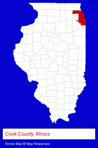
The Illinois counties map at upper right shows Cook County, highlighted in red. Use the menu below to display interactive maps of Winnetka, either in a frame on this page or in full-screen mode.
Use the menu below to display categorized Winnetka directories.
| Winnetka Products and Services Directory | ||
|---|---|---|
| Attorneys | Dentists | Home Improvement |
| Insurance | Schools | |
Selected Winnetka, Illinois Listings
These randomly selected Winnetka listings provide some insight into the village's cultural environment and economic climate.- Orthodontics Dentists
- Builders & Contractors
- Building Contractors
- Engineering Services
- Antiques
- Antique Dealers
- Educational Consultants
- College & University Placement Services
- College Consultants
- Elementary & Secondary Education
- Public Schools
- High Schools
- Corporate Business Attorneys
- Arbitration & Mediation Services
- Arbitration & Mediation Services Attorneys
- Appeals Attorneys
Nearby Illinois Cities and Towns *
- Evanston (27) - Evanston, Illinois solutions directory and maps.
- Glenview (14) - Glenview, Illinois demographics and directory.
- Morton Grove (3) - Morton Grove, Illinois information and maps.
- Northbrook (24) - Northbrook, Illinois solutions directory and maps.
- Northfield (3) - Northfield, Illinois information and maps.
- Skokie (25) - Skokie, Illinois solutions directory and maps.
- Wilmette (10) - Wilmette, Illinois demographics and directory.
Large and Mid-size Cities in Nearby States
- Kenosha, Wisconsin (20) - Kenosha, WI demographics and directory.
* Parenthesized numbers indicate economic activity levels.
Copyright © 2011-2026 RegionalDirectory.us. All rights reserved.