Wood Dale, Illinois Map and Directory
Regional Directory > States Menu > Illinois
 According to the United States Census Bureau, Wood Dale is a City that is located in DuPage County, Illinois at 41.96 degrees North and 87.98 degrees West.
The city's time zone is America/Chicago, and the city's primary telephone area code is 630.
The land area of Wood Dale is about 4.73 square miles, whereas the water area of the city is about 0.11 square miles.
DuPage County's land area is about 328 square miles, so the city occupies about 1.4 percent of the county's total land area.
According to the United States Census Bureau, Wood Dale is a City that is located in DuPage County, Illinois at 41.96 degrees North and 87.98 degrees West.
The city's time zone is America/Chicago, and the city's primary telephone area code is 630.
The land area of Wood Dale is about 4.73 square miles, whereas the water area of the city is about 0.11 square miles.
DuPage County's land area is about 328 square miles, so the city occupies about 1.4 percent of the county's total land area.
The Census Bureau estimates that Wood Dale had about 13,607 residents in 2019, which is approximately 2,877 people per square mile of land area.
According to recent American Community Survey data, the median household income in Wood Dale was about $70,552 per year.
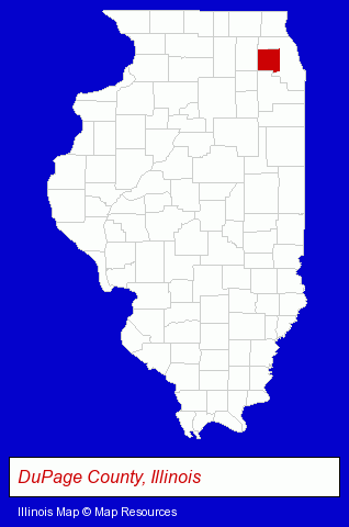
The Illinois counties map at upper right shows DuPage County, highlighted in red. Use the menu below to display interactive maps of Wood Dale, either in a frame on this page or in full-screen mode.
Use the menu below to display categorized Wood Dale directories.
| Wood Dale Products and Services Directory | ||
|---|---|---|
| Dentists | Freight Forwarding | Home Improvement |
| Metals | ||
Selected Wood Dale, Illinois Listings
These randomly selected Wood Dale listings provide some insight into the city's cultural environment and economic climate.- Florists
- Banquet Facilities
- Event Planning
- Party Planning
- Wedding Flowers
- Electric Companies
- Electric Power Systems Testing & Maintenance Contractors
- Chiropractors
- Office Building & Industrial Cleaning Services
- Janitorial Services
- Insurance
- Auto Insurance
- Industrial Equipment & Supplies Dealers
- Moving & Storage
- Moving & Storage Commercial & Industrial
- Packaging & Shipping Materials Retail
- Packing & Crating Materials
- Auto Body Repair & Painting
- Collision Services
- Clothing & Accessories Retail
- Jewelers
- Jewelry Repair
- Watch Service & Repair
- Accountants
- Certified Public Accountants
- Kitchen & Bathroom Remodeling
- Bathtubs & Sinks Repair & Refinishing
- Cabinet Refacing, Refinishing & Resurfacing
- Phone Equipment & Systems Dealers
- Phone Equipment & Systems Parts & Supplies
- Long Distance Phone Services
- Local Phone Services
- Sheet Metal Wholesale & Manufacturers
- Orthodontics Dentists
- Office Building & Industrial Cleaning Services
- Janitorial Services
- Interior Building Cleaning
- Medical Imaging
- Pet Food & Supplies Retail
- Pet Shops
- Trucking Companies
- Freight Forwarding
- Restaurants
- Barbecue Restaurants
- Party Equipment & Supplies Sales & Rental
- Disposable Products Retail
Nearby Illinois Cities and Towns *
- Addison (12) - Addison, Illinois demographics and directory.
- Bensenville (9) - Bensenville, Illinois demographics and directory.
- Elk Grove Village (28) - Elk Grove Village, Illinois solutions directory and maps.
- Elmhurst (21) - Elmhurst, Illinois solutions directory and maps.
- Itasca (9) - Itasca, Illinois demographics and directory.
- Lombard (14) - Lombard, Illinois demographics and directory.
- Villa Park (6) - Villa Park, Illinois demographics and maps.
* Parenthesized numbers indicate economic activity levels.
Copyright © 2011-2026 RegionalDirectory.us. All rights reserved.