Hammond, Indiana Map and Directory
Regional Directory > States Menu > Indiana
 According to the United States Census Bureau, Hammond is a City that is located in Lake County, Indiana at 41.58 degrees North and 87.50 degrees West.
The city's time zone is America/Chicago, and the city's primary telephone area code is 219.
The land area of Hammond is about 22.78 square miles, whereas the water area of the city is about 2.11 square miles.
Lake County's land area is about 499 square miles, so the city occupies about 4.6 percent of the county's total land area.
According to the United States Census Bureau, Hammond is a City that is located in Lake County, Indiana at 41.58 degrees North and 87.50 degrees West.
The city's time zone is America/Chicago, and the city's primary telephone area code is 219.
The land area of Hammond is about 22.78 square miles, whereas the water area of the city is about 2.11 square miles.
Lake County's land area is about 499 square miles, so the city occupies about 4.6 percent of the county's total land area.
The Census Bureau estimates that Hammond had about 75,522 residents in 2019, which is approximately 3,315 people per square mile of land area.
According to recent American Community Survey data, the median household income in Hammond was about $46,406 per year.
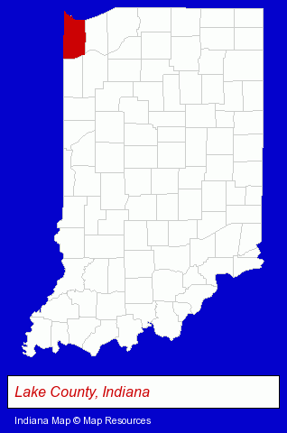
The Indiana counties map at upper right shows Lake County, highlighted in red. Use the menu below to display interactive maps of Hammond, either in a frame on this page or in full-screen mode.
Use the menu below to display categorized Hammond directories.
| Hammond Products and Services Directory | |
|---|---|
| Business Services | Metals |
Selected Hammond, Indiana Listings
These representative Hammond listings provide some insight into the city's cultural environment and economic climate.- Truck Equipment, Parts & Accessories Retail
- Towing
- Towing Equipment
- Auto Towing Equipment
- Metal Products
- Metal Products Wholesale & Manufacturers
- Building Materials & Supplies Wholesale & Manufacturers
- Metal Finishing
- Paint Stores
- Paint Wholesale & Manufacturers
- Truck Service & Repair
- Truck Body Repair & Painting
- Radio Sales & Service
- Car Audio & Video Retail
- Television Service & Repair
- Engineers
- Professional Engineers
- Land Surveyors
- Surveyors
- Surveying Services
- Building & Home Construction
- Builders & Contractors
- Roofing Contractors
- Roofing
- Outdoor Sports & Recreation
- Public Golf Courses
- Golf
- Golf Courses
- Business Consultants & Advisors
- Advertising
- Advertising Agencies & Consultants
- Advertising & Design Agencies
- Industrial Equipment & Supplies Dealers
- Industrial Equipment & Supplies Wholesale & Manufacturers
- Automation Equipment & Systems Dealers Industrial
Nearby Indiana Cities and Towns *
- Crown Point (6) - Crown Point, Indiana demographics and maps.
- East Chicago (1) - East Chicago, Indiana information and maps.
- Merrillville (5) - Merrillville, Indiana demographics and maps.
- Munster (1) - Munster, Indiana information and maps.
- Schererville (1) - Schererville, Indiana information and maps.
- Valparaiso (8) - Valparaiso, Indiana demographics and maps.
* Parenthesized numbers indicate economic activity levels.
Copyright © 2011-2026 RegionalDirectory.us. All rights reserved.