Bossier City, Louisiana Map and Directory
Regional Directory > States Menu > Louisiana
 According to the United States Census Bureau, Bossier City is a City that is located in Bossier Parish, Louisiana at 32.52 degrees North and 93.73 degrees West.
The city's time zone is America/Chicago, and the city's primary telephone area code is 318.
The land area of Bossier City is about 42.91 square miles, whereas the water area of the city is about 0.99 square miles.
Bossier Parish's land area is about 840 square miles, so the city occupies about 5.1 percent of the county's total land area.
According to the United States Census Bureau, Bossier City is a City that is located in Bossier Parish, Louisiana at 32.52 degrees North and 93.73 degrees West.
The city's time zone is America/Chicago, and the city's primary telephone area code is 318.
The land area of Bossier City is about 42.91 square miles, whereas the water area of the city is about 0.99 square miles.
Bossier Parish's land area is about 840 square miles, so the city occupies about 5.1 percent of the county's total land area.
The Census Bureau estimates that Bossier City had about 68,159 residents in 2019, which is approximately 1,588 people per square mile of land area.
According to recent American Community Survey data, the median household income in Bossier City was about $50,340 per year.
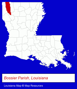
The Louisiana counties map at upper right shows Bossier Parish, highlighted in red. Use the menu below to display interactive maps of Bossier City, either in a frame on this page or in full-screen mode.
Use the menu below to display categorized Bossier City directories.
| Bossier City Products and Services Directory | ||
|---|---|---|
| Dentists | Escrow Services | Home Improvement |
| Insurance | Janitorial Services | Physicians |
Selected Bossier City, Louisiana Listings
These randomly selected Bossier City listings provide some insight into the city's cultural environment and economic climate.- Veterinarians
- Animal Hospitals
- Major Appliance Dealers
- Major Appliance Service & Repair
- Refrigeration Dealers
- Radios Wholesale & Manufacturers
- Libraries
- Public Libraries
- Cultural Attractions, Events & Facilities
- Libraries
- Safety Clothing & Equipment
- Janitorial Equipment & Supplies Wholesale & Manufacturers
- Orthodontics Dentists
- Cosmetic Dentists
- Dental Clinics
- Auto Insurance
- Sports & Recreation Facilities
- Health Clubs & Gyms
- Exercise & Fitness Classes & Instruction
- Fitness Consultants
- Sporting Goods Dealers
- Sporting Goods Wholesale & Manufacturers
- Veterinarians
- Animal Hospitals
- Personal Injury Attorneys
- Title Insurance
- Escrow Services
- Notaries Public
- Hearing Aids & Assistive Devices Retail
- Hearing Aid & Assistive Device Service & Repair
- Audiologists
- Pedodontics Dentists
- Rehabilitation Services
- Nursing & Convalescent Homes
- Nursing & Personal Care Facilities
- Geriatric Care Nursing Homes
- Intermediate Care Nursing Homes
- Coffee & Tea Shops
- Schools
- Ophthalmology Physicians & Surgeons
- General Practice
Nearby Louisiana Cities and Towns *
- Alexandria (9) - Alexandria, Louisiana demographics and directory.
- Lafayette (47) - Lafayette, Louisiana products & services directory.
- Lake Charles (18) - Lake Charles, Louisiana solutions directory and maps.
- Monroe (10) - Monroe, Louisiana demographics and directory.
- Natchitoches (1) - Natchitoches, Louisiana information and maps.
- Shreveport (44) - Shreveport, Louisiana products & services directory.
- West Monroe (8) - West Monroe, Louisiana demographics and maps.
* Parenthesized numbers indicate economic activity levels.
Copyright © 2011-2026 RegionalDirectory.us. All rights reserved.