Ironwood, Michigan Map and Directory
Regional Directory > States Menu > Michigan
 According to the United States Census Bureau, Ironwood is a City that is located in Gogebic County, Michigan at 46.45 degrees North and 90.17 degrees West.
The city's time zone is America/Menominee, and the city's primary telephone area code is 906.
The land area of Ironwood is about 6.42 square miles, whereas the water area of the city is about 0.00 square miles.
Gogebic County's land area is about 1,102 square miles, so the city occupies about 0.6 percent of the county's total land area.
According to the United States Census Bureau, Ironwood is a City that is located in Gogebic County, Michigan at 46.45 degrees North and 90.17 degrees West.
The city's time zone is America/Menominee, and the city's primary telephone area code is 906.
The land area of Ironwood is about 6.42 square miles, whereas the water area of the city is about 0.00 square miles.
Gogebic County's land area is about 1,102 square miles, so the city occupies about 0.6 percent of the county's total land area.
The Census Bureau estimates that Ironwood had about 5,113 residents in 2014, which is approximately 796 people per square mile of land area.
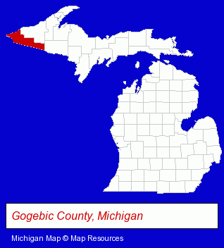
The Michigan counties map at upper right shows Gogebic County, highlighted in red. Use the menu below to display interactive maps of Ironwood, either in a frame on this page or in full-screen mode.
Use the menu below to display categorized Ironwood directories.
| Ironwood Products and Services Directory | |
|---|---|
| Building Materials | Home Improvement |
Selected Ironwood, Michigan Listings
These representative Ironwood listings provide some insight into the city's cultural environment and economic climate. Black River Lodge- Lodging
- Hotels
- Motels
- Vacation Home Rental
- Cabin, Cottage & Chalet Rental
- Auto Service & Repair
- Used Cars
- Plumbing Service & Repair
- Excavation Contractors
- Visual Arts
- Fabric Shops
- Textiles Retail
- Quilting Materials & Supplies Retail
- Schools
- Colleges & Universities
- Attorneys
- Radio Stations
Nearby Michigan Cities and Towns *
- Marquette (3) - Marquette, Michigan information and maps.
* Parenthesized numbers indicate economic activity levels.
Copyright © 2011-2026 RegionalDirectory.us. All rights reserved.