Taylor, Michigan Map and Directory
Regional Directory > States Menu > Michigan
 According to the United States Census Bureau, Taylor is a City that is located in Wayne County, Michigan at 42.24 degrees North and 83.27 degrees West.
The city's time zone is America/Detroit, and the city's primary telephone area code is 313.
The land area of Taylor is about 23.60 square miles, whereas the water area of the city is about 0.04 square miles.
Wayne County's land area is about 612 square miles, so the city occupies about 3.9 percent of the county's total land area.
According to the United States Census Bureau, Taylor is a City that is located in Wayne County, Michigan at 42.24 degrees North and 83.27 degrees West.
The city's time zone is America/Detroit, and the city's primary telephone area code is 313.
The land area of Taylor is about 23.60 square miles, whereas the water area of the city is about 0.04 square miles.
Wayne County's land area is about 612 square miles, so the city occupies about 3.9 percent of the county's total land area.
The Census Bureau estimates that Taylor had about 60,922 residents in 2019, which is approximately 2,581 people per square mile of land area.
According to recent American Community Survey data, the median household income in Taylor was about $50,053 per year.
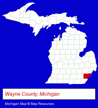
The Michigan counties map at upper right shows Wayne County, highlighted in red. Use the menu below to display interactive maps of Taylor, either in a frame on this page or in full-screen mode.
Use the menu below to display categorized Taylor directories.
| Taylor Products and Services Directory | |
|---|---|
| Home Improvement | Schools |
Selected Taylor, Michigan Listings
These representative Taylor listings provide some insight into the city's cultural environment and economic climate.- Attorneys
- Criminal Law Attorneys
- Real Estate Attorneys
- Residential Real Estate Attorneys
- Sporting Goods Dealers
- Insurance
- Food Products Wholesale & Manufacturers
- Fruits & Vegetables Wholesale
- Canners & Food Processors
- Frozen Food Processing
- Frozen Food Wholesalers
- Caterers
- Food Products Wholesale & Manufacturers
- Meats Retail
- Meats Wholesale
- Driver Training
- Driver Testing Services
- Truck Dealers
- Used Cars
- Used Trucks
- Public Schools
Nearby Michigan Cities and Towns *
- Dearborn (7) - Dearborn, Michigan demographics and maps.
- Detroit (30) - Detroit, Michigan solutions directory and maps.
- Livonia (22) - Livonia, Michigan solutions directory and maps.
- Redford (3) - Redford, Michigan information and maps.
- Romulus (3) - Romulus, Michigan information and maps.
- Westland (4) - Westland, Michigan information and maps.
- Wyandotte (4) - Wyandotte, Michigan information and maps.
* Parenthesized numbers indicate economic activity levels.
Copyright © 2011-2026 RegionalDirectory.us. All rights reserved.