Hermann, Missouri Map and Directory
Regional Directory > States Menu > Missouri
 According to the United States Census Bureau, Hermann is a City that is located in Gasconade County, Missouri at 38.70 degrees North and 91.44 degrees West.
The city's time zone is America/Chicago, and the city's primary telephone area code is 573.
The land area of Hermann is about 2.53 square miles, whereas the water area of the city is about 0.18 square miles.
Gasconade County's land area is about 518 square miles, so the city occupies about 0.5 percent of the county's total land area.
According to the United States Census Bureau, Hermann is a City that is located in Gasconade County, Missouri at 38.70 degrees North and 91.44 degrees West.
The city's time zone is America/Chicago, and the city's primary telephone area code is 573.
The land area of Hermann is about 2.53 square miles, whereas the water area of the city is about 0.18 square miles.
Gasconade County's land area is about 518 square miles, so the city occupies about 0.5 percent of the county's total land area.
The Census Bureau estimates that Hermann had about 2,378 residents in 2014, which is approximately 940 people per square mile of land area.
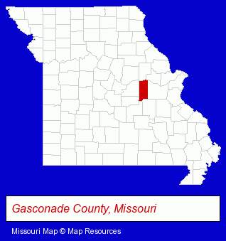
The Missouri counties map at upper right shows Gasconade County, highlighted in red. Use the menu below to display interactive maps of Hermann, either in a frame on this page or in full-screen mode.
Use the menu below to display categorized Hermann directories.
| Hermann Directory Page: | Hotels |
|---|
Selected Hermann, Missouri Listings
These Hermann listings provide some insight into the city's cultural environment and economic climate.- Boat Dealers
- Marine Equipment & Supplies Retail
- Accountants
- Certified Public Accountants
- Tax Return Preparation
- Government Offices
- County Government
- Local Government
- Law Enforcement
- Lodging
- Hotels
- Motels
- Cleaning Services
- Exterior Cleaning Services
- Sandblasting
- Restaurants
- Take Out
- Butchers
- Homes & Residential Real Estate
- General Real Estate
- Business Brokers
- Industrial Equipment & Supplies Wholesale & Manufacturers
- Industrial Equipment & Supplies Wholesale & Manufacturers
- Tree Farms
Nearby Missouri Cities and Towns *
- Fulton (1) - Fulton, Missouri information and maps.
- Marthasville (1) - Marthasville, Missouri information and maps.
- Moscow Mills (1) - Moscow Mills, Missouri information and maps.
- Troy (1) - Troy, Missouri information and maps.
- Wentzville (3) - Wentzville, Missouri information and maps.
* Parenthesized numbers indicate economic activity levels.
Copyright © 2011-2026 RegionalDirectory.us. All rights reserved.