Englewood Cliffs, New Jersey Map and Directory
Regional Directory > States Menu > New Jersey
 According to the United States Census Bureau, Englewood Cliffs is a Borough that is located in Bergen County, New Jersey at 40.89 degrees North and 73.95 degrees West.
The borough's time zone is America/New York, and the borough's primary telephone area code is 551.
The land area of Englewood Cliffs is about 2.09 square miles, whereas the water area of the borough is about 1.24 square miles.
Bergen County's land area is about 233 square miles, so the borough occupies about 0.9 percent of the county's total land area.
According to the United States Census Bureau, Englewood Cliffs is a Borough that is located in Bergen County, New Jersey at 40.89 degrees North and 73.95 degrees West.
The borough's time zone is America/New York, and the borough's primary telephone area code is 551.
The land area of Englewood Cliffs is about 2.09 square miles, whereas the water area of the borough is about 1.24 square miles.
Bergen County's land area is about 233 square miles, so the borough occupies about 0.9 percent of the county's total land area.
The Census Bureau estimates that Englewood Cliffs had about 5,354 residents in 2019, which is approximately 2,562 people per square mile of land area.
According to recent American Community Survey data, the median household income in Englewood Cliffs was about $148,446 per year.
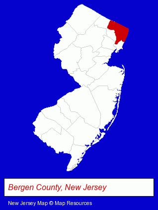
The New Jersey counties map at upper right shows Bergen County, highlighted in red. Use the menu below to display interactive maps of Englewood Cliffs, either in a frame on this page or in full-screen mode.
Use the menu below to display categorized Englewood Cliffs directories.
| Englewood Cliffs Products and Services Directory | |
|---|---|
| Business Services | Information Technology |
Selected Englewood Cliffs, New Jersey Listings
These representative Englewood Cliffs listings provide some insight into the borough's cultural environment and economic climate.- Clinics & Medical Centers
- Veterinarians
- Animal Hospitals
- Animal Health
- Office Supplies Retail
- Printing & Writing Paper
- Business Consultants & Advisors
- Management Consultants
- Business Management Services
- Insurance
- Arbitration & Mediation Services
- Arbitration & Mediation Services Attorneys
- Arbitrators
- Medical Equipment & Supplies Retail
- Laboratories
- Business Consultants & Advisors
- Management Consultants
- Business Management Services
- Marketing Consultants
- Corporate Business Attorneys
- Personal Injury Attorneys
- Insurance Law Attorneys
- Civil Law Attorneys
- Telecommunications Services
Nearby New Jersey Cities and Towns *
- Bergenfield (1) - Bergenfield, New Jersey information and maps.
- Englewood (5) - Englewood, New Jersey demographics and maps.
- Fort Lee (5) - Fort Lee, New Jersey demographics and maps.
- Hackensack (11) - Hackensack, New Jersey demographics and directory.
- South Hackensack (1) - South Hackensack, New Jersey information and maps.
- Teaneck (1) - Teaneck, New Jersey information and maps.
- Tenafly (2) - Tenafly, New Jersey information and maps.
Large and Mid-size Cities in Nearby States
- New York, New York (224) - New York, NY products & services directory.
- Yonkers, New York (14) - Yonkers, NY demographics and directory.
* Parenthesized numbers indicate economic activity levels.
Copyright © 2011-2026 RegionalDirectory.us. All rights reserved.