Vineland, New Jersey Map and Directory
Regional Directory > States Menu > New Jersey
 According to the United States Census Bureau, Vineland is a City that is located in Cumberland County, New Jersey at 39.49 degrees North and 75.03 degrees West.
The city's time zone is America/New York, and the city's primary telephone area code is 856.
The land area of Vineland is about 68.42 square miles, whereas the water area of the city is about 0.60 square miles.
Cumberland County's land area is about 484 square miles, so the city occupies about 14.1 percent of the county's total land area.
According to the United States Census Bureau, Vineland is a City that is located in Cumberland County, New Jersey at 39.49 degrees North and 75.03 degrees West.
The city's time zone is America/New York, and the city's primary telephone area code is 856.
The land area of Vineland is about 68.42 square miles, whereas the water area of the city is about 0.60 square miles.
Cumberland County's land area is about 484 square miles, so the city occupies about 14.1 percent of the county's total land area.
The Census Bureau estimates that Vineland had about 59,439 residents in 2019, which is approximately 869 people per square mile of land area.
According to recent American Community Survey data, the median household income in Vineland was about $54,476 per year.
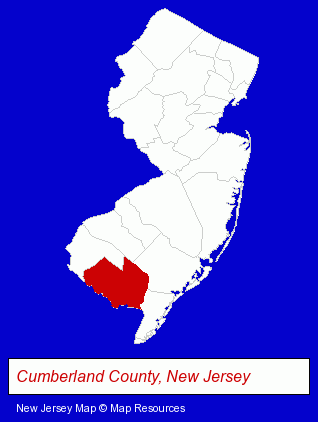
The New Jersey counties map at upper right shows Cumberland County, highlighted in red. Use the menu below to display interactive maps of Vineland, either in a frame on this page or in full-screen mode.
Use the menu below to display categorized Vineland directories.
| Vineland Products and Services Directory | ||
|---|---|---|
| Building Materials | Home Improvement | Moving and Storage |
| Restaurants | Visual Arts | |
Selected Vineland, New Jersey Listings
These randomly selected Vineland listings provide some insight into the city's cultural environment and economic climate.- Crafts & Craft Supplies Retail
- Housewares Wholesale & Manufacturers
- Hand Blown Glass Retail
- Florists
- Gift Shops
- Orthodontics Dentists
- Household Goods Moving & Storage
- Warehouses & Warehousing
- Pottery Retail
- Ceramic Studios, Equipment & Supplies Retail
- Fence Dealers
- Fence Materials
- Florists
- Nurseries
- Home Improvement Stores
- Hardware Dealers
- Lawn & Garden Outdoor Power Equipment
- Steak Restaurants
- Auto Parts Retail
- Auto Glass Retail
- Corporate Business Attorneys
- Personal Injury Attorneys
- Insurance Law Attorneys
- Printing & Publishing
- Printing Services
- Commercial Printing
- Computer Printers
- Computer Supplies, Parts & Accessories
- Restaurant Equipment & Services
- Restaurant Equipment & Supplies Retail
- Bar Equipment, Fixtures & Supplies
- Used Restaurant Equipment & Supplies
- Kitchen Equipment Commercial
- Physicians & Surgeons
- Ophthalmology Physicians & Surgeons
Nearby New Jersey Cities and Towns *
- Berlin (2) - Berlin, New Jersey information and maps.
- Blackwood (2) - Blackwood, New Jersey information and maps.
- Millville (2) - Millville, New Jersey information and maps.
- Pitman (1) - Pitman, New Jersey information and maps.
- Swedesboro (1) - Swedesboro, New Jersey information and maps.
- Woodbury (1) - Woodbury, New Jersey information and maps.
Large and Mid-size Cities in Nearby States
- Philadelphia, Pennsylvania (86) - Philadelphia, PA products & services directory.
* Parenthesized numbers indicate economic activity levels.
Copyright © 2011-2026 RegionalDirectory.us. All rights reserved.