Chagrin Falls, Ohio Map and Directory
Regional Directory > States Menu > Ohio
 According to the United States Census Bureau, Chagrin Falls is a Village that is located in Cuyahoga County, Ohio at 41.44 degrees North and 81.39 degrees West.
The village's time zone is America/New York, and the village's primary telephone area code is 440.
The land area of Chagrin Falls is about 2.08 square miles, whereas the water area of the village is about 0.06 square miles.
Cuyahoga County's land area is about 457 square miles, so the village occupies about 0.5 percent of the county's total land area.
According to the United States Census Bureau, Chagrin Falls is a Village that is located in Cuyahoga County, Ohio at 41.44 degrees North and 81.39 degrees West.
The village's time zone is America/New York, and the village's primary telephone area code is 440.
The land area of Chagrin Falls is about 2.08 square miles, whereas the water area of the village is about 0.06 square miles.
Cuyahoga County's land area is about 457 square miles, so the village occupies about 0.5 percent of the county's total land area.
The Census Bureau estimates that Chagrin Falls had about 4,039 residents in 2014, which is approximately 1,942 people per square mile of land area.
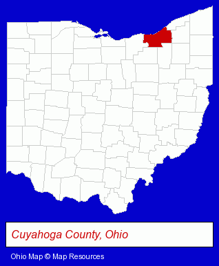
The Ohio counties map at upper right shows Cuyahoga County, highlighted in red. Use the menu below to display interactive maps of Chagrin Falls, either in a frame on this page or in full-screen mode.
Use the menu below to display categorized Chagrin Falls directories.
| Chagrin Falls Products and Services Directory | |
|---|---|
| Business Services | Metals |
Selected Chagrin Falls, Ohio Listings
These representative Chagrin Falls listings provide some insight into the village's cultural environment and economic climate. Chagrin Valley Country Club- Civic Clubs & Organizations
- Public Golf Courses
- Sports & Recreation Clubs & Organizations
- Private Golf Clubs
- Country Clubs
- Clothing Stores
- Clothing & Accessories Retail
- Toy Stores
- Toys Wholesale & Manufacturers
- Toy Equipment & Supplies
Nearby Ohio Cities and Towns *
- Beachwood (7) - Beachwood, Ohio demographics and maps.
- Maple Heights (1) - Maple Heights, Ohio information and maps.
- Solon (8) - Solon, Ohio demographics and maps.
- Twinsburg (4) - Twinsburg, Ohio information and maps.
* Parenthesized numbers indicate economic activity levels.
Copyright © 2011-2026 RegionalDirectory.us. All rights reserved.