Cleveland, Ohio Map and Directory
Regional Directory > States Menu > Ohio
 According to the United States Census Bureau, Cleveland is a City that is located in Cuyahoga County, Ohio at 41.50 degrees North and 81.70 degrees West.
The city's time zone is America/New York, and the city's primary telephone area code is 216.
The land area of Cleveland is about 77.71 square miles, whereas the water area of the city is about 4.76 square miles.
Cuyahoga County's land area is about 457 square miles, so the city occupies about 17.0 percent of the county's total land area.
According to the United States Census Bureau, Cleveland is a City that is located in Cuyahoga County, Ohio at 41.50 degrees North and 81.70 degrees West.
The city's time zone is America/New York, and the city's primary telephone area code is 216.
The land area of Cleveland is about 77.71 square miles, whereas the water area of the city is about 4.76 square miles.
Cuyahoga County's land area is about 457 square miles, so the city occupies about 17.0 percent of the county's total land area.
The Census Bureau estimates that Cleveland had about 381,009 residents in 2019, which is approximately 4,903 people per square mile of land area.
According to recent American Community Survey data, the median household income in Cleveland was about $30,907 per year. This Cleveland Real Estate directory lists real estate solution providers in Cleveland, Ohio.
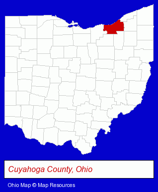
The Ohio counties map at upper right shows Cuyahoga County, highlighted in red. Use the menu below to display interactive maps of Cleveland, either in a frame on this page or in full-screen mode.
Use the menu below to display categorized Cleveland directories.
Selected Cleveland, Ohio Listings
These randomly selected Cleveland listings provide some insight into the city's cultural environment and economic climate.- Door & Window Dealers
- Door & Door Frame Dealers
- Metal Polishing, Buffing & Plating
- Industrial Equipment & Supplies Dealers
- Chemicals Wholesale & Manufacturers
- Chemicals Dealers
- Rehabilitation Services
- Physical Therapists
- Physical Therapy
- Sports Medicine Physicians & Surgeons
- Commercial & Industrial Building Materials & Supplies
- Insulation Materials Dealers
- Insulation Materials Commercial & Industrial
- Industrial Equipment & Supplies Dealers
- Industrial Equipment & Supplies Wholesale & Manufacturers
- Automation Equipment & Systems Dealers Industrial
- Photography
- Professional Photographers
- Portrait Photographers
- Photographers Commercial & Industrial
- Musical Instruments Retail
- Musical Instrument Service & Repair
- Pianos & Organs Retail
- Musical Instruments Wholesale & Manufacturers
- Artists & Art Studios
- Leaded Art Glass
- Industrial Equipment & Supplies Dealers
- Metals
- Industrial Equipment & Supplies Wholesale & Manufacturers
- Corporate Business Attorneys
- Trial Attorneys
- Civil Law Attorneys
- Floral & Balloon Arrangements
- Floral & Balloon Arrangements
- Gift Baskets & Packs Retail
- Industrial Equipment & Supplies Dealers
- Industrial Equipment & Supplies Wholesale & Manufacturers
- Business Insurance
- Industrial Equipment & Supplies Dealers
- Metals
- Machine Shops
- CNC Machining, Turning & Milling Shops
- Die Cutting Equipment & Supplies
Nearby Ohio Cities and Towns *
- Beachwood (7) - Beachwood, Ohio demographics and maps.
- Brook Park (2) - Brook Park, Ohio information and maps.
- Euclid (5) - Euclid, Ohio demographics and maps.
- Lakewood (2) - Lakewood, Ohio information and maps.
- Rocky River (3) - Rocky River, Ohio information and maps.
* Parenthesized numbers indicate economic activity levels.
Copyright © 2011-2026 RegionalDirectory.us. All rights reserved.