Wichita Falls, Texas Map and Directory
Regional Directory > States Menu > Texas
 According to the United States Census Bureau, Wichita Falls is a City that is located in Wichita County, Texas at 33.91 degrees North and 98.49 degrees West.
The city's time zone is America/Chicago, and the city's primary telephone area code is 940.
The land area of Wichita Falls is about 72.21 square miles, whereas the water area of the city is about 0.02 square miles.
Wichita County's land area is about 628 square miles, so the city occupies about 11.5 percent of the county's total land area.
According to the United States Census Bureau, Wichita Falls is a City that is located in Wichita County, Texas at 33.91 degrees North and 98.49 degrees West.
The city's time zone is America/Chicago, and the city's primary telephone area code is 940.
The land area of Wichita Falls is about 72.21 square miles, whereas the water area of the city is about 0.02 square miles.
Wichita County's land area is about 628 square miles, so the city occupies about 11.5 percent of the county's total land area.
The Census Bureau estimates that Wichita Falls had about 104,683 residents in 2019, which is approximately 1,450 people per square mile of land area.
According to recent American Community Survey data, the median household income in Wichita Falls was about $47,476 per year.
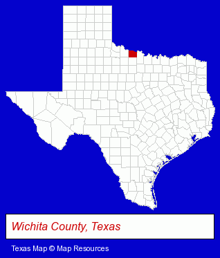
The Texas counties map at upper right shows Wichita County, highlighted in red. Use the menu below to display interactive maps of Wichita Falls, either in a frame on this page or in full-screen mode.
Use the menu below to display categorized Wichita Falls directories.
| Wichita Falls Products and Services Directory | ||
|---|---|---|
| Auto Service | Building Materials | Clinics |
| Financial Services | Home Improvement | Insurance |
| Physicians | Radio Stations | Recreation Centers |
| Restaurants | Roofing Contractors | |
Selected Wichita Falls, Texas Listings
These randomly selected Wichita Falls listings provide some insight into the city's cultural environment and economic climate.- Truck Parts & Equipment Wholesale & Manufacturers
- Wheels & Wheel Covers Retail
- Florists
- Wedding Equipment & Supplies
- Wedding Supplies & Services
- Outdoor Sports & Recreation
- Bicycle Rental
- Industrial Equipment & Supplies Dealers
- Industrial Equipment & Supplies Wholesale & Manufacturers
- American Restaurants
- Take Out
- Ice Cream & Frozen Yogurt Shops
- Hot Dog Restaurants
- Building Contractors
- Metal Fabricators
- Metal Building Contractors
- Clothing Stores
- Sporting Goods Dealers
- Sportswear Retail
- Social & Human Services
- Social & Human Services Organizations
- Adoption Agencies & Services
- Family Planning
- Abortion Alternatives
- Schools
- Colleges & Universities
- RV & Camper Dealers
- RV & Camper Service & Repair
- RV Parts & Equipment Wholesale & Manufacturers
- Dentists
Nearby Texas Cities and Towns *
- Weatherford (9) - Weatherford, Texas demographics and directory.
* Parenthesized numbers indicate economic activity levels.
Copyright © 2011-2026 RegionalDirectory.us. All rights reserved.