Montpelier, Vermont Map and Directory
Regional Directory > States Menu > Vermont
 According to the United States Census Bureau, Montpelier is a City that is located in Washington County, Vermont at 44.26 degrees North and 72.58 degrees West.
The city's time zone is America/New York, and the city's primary telephone area code is 802.
The land area of Montpelier is about 10.06 square miles, whereas the water area of the city is about 0.19 square miles.
Washington County's land area is about 687 square miles, so the city occupies about 1.5 percent of the county's total land area.
According to the United States Census Bureau, Montpelier is a City that is located in Washington County, Vermont at 44.26 degrees North and 72.58 degrees West.
The city's time zone is America/New York, and the city's primary telephone area code is 802.
The land area of Montpelier is about 10.06 square miles, whereas the water area of the city is about 0.19 square miles.
Washington County's land area is about 687 square miles, so the city occupies about 1.5 percent of the county's total land area.
The Census Bureau estimates that Montpelier had about 7,372 residents in 2019, which is approximately 733 people per square mile of land area.
According to recent American Community Survey data, the median household income in Montpelier was about $65,078 per year.
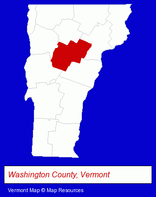
The Vermont counties map at upper right shows Washington County, highlighted in red. Use the menu below to display interactive maps of Montpelier, either in a frame on this page or in full-screen mode.
Use the menu below to display categorized Montpelier directories.
| Montpelier Products and Services Directory | |
|---|---|
| Schools | Visual Arts |
Selected Montpelier, Vermont Listings
These representative Montpelier listings provide some insight into the city's cultural environment and economic climate.- Restaurants
- American Restaurants
- Take Out
- Family Restaurants
- Ice Cream & Frozen Yogurt Shops
- Building & Home Construction
- Architects
- Architectural Services
- Interior Decorators & Designers
- Optometrists
- Optical Goods Retail
- Contact Lenses Retail
- Lodging
- Hotels
- Motels
- Publishers
- Newspaper Publishers
- Newspapers & Magazines
- Business Services
- Business Consultants & Advisors
- Management Consultants
- Business Management Services
- Building & Home Construction
- Architects
- Architectural Services
- Libraries
- Public Libraries
- Clothing Stores
- Art Galleries & Dealers
- Designer Clothing & Accessories
- Elementary & Secondary Education
- Public Schools
- High Schools
- Junior High & Middle Schools
- Public Accountants
- Certified Public Accountants
Nearby Vermont Cities and Towns *
- Barre (2) - Barre, Vermont information and maps.
- Burlington (7) - Burlington, Vermont demographics and maps.
- Essex Junction (2) - Essex Junction, Vermont information and maps.
- Stowe (1) - Stowe, Vermont information and maps.
- Waitsfield (2) - Waitsfield, Vermont information and maps.
- Williston (2) - Williston, Vermont information and maps.
* Parenthesized numbers indicate economic activity levels.
Copyright © 2011-2026 RegionalDirectory.us. All rights reserved.