Rosedale, Maryland Map and Directory
Regional Directory > States Menu > Maryland
 According to the United States Census Bureau, Rosedale is a Census-designated Place that is located in Baltimore County, Maryland at 39.32 degrees North and 76.52 degrees West.
The place's time zone is America/New York, and the place's primary telephone area code is 410.
The land area of Rosedale is about 6.89 square miles, whereas the water area of the place is about 0.25 square miles.
Baltimore County's land area is about 598 square miles, so the place occupies about 1.2 percent of the county's total land area.
According to the United States Census Bureau, Rosedale is a Census-designated Place that is located in Baltimore County, Maryland at 39.32 degrees North and 76.52 degrees West.
The place's time zone is America/New York, and the place's primary telephone area code is 410.
The land area of Rosedale is about 6.89 square miles, whereas the water area of the place is about 0.25 square miles.
Baltimore County's land area is about 598 square miles, so the place occupies about 1.2 percent of the county's total land area.
The Census Bureau estimates that Rosedale had about 19,842 residents in 2019, which is approximately 2,880 people per square mile of land area.
According to recent American Community Survey data, the median household income in Rosedale was about $73,047 per year.
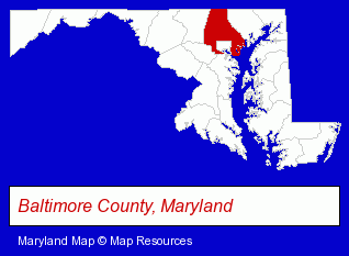
The Maryland counties map at upper right shows Baltimore County, highlighted in red. Use the menu below to display interactive maps of Rosedale, either in a frame on this page or in full-screen mode.
Use the menu below to display categorized Rosedale directories.
| Rosedale Products and Services Directory | |
|---|---|
| Building Materials | Printing and Publishing |
Selected Rosedale, Maryland Listings
These representative Rosedale listings provide some insight into the place's cultural environment and economic climate. Gynemed Surgical Center - David M O'Neil MD- Medical Services
- Gynecology & Obstetrics Physicians & Surgeons
- Schools
- Elementary & Secondary Education
- Elementary Schools
- Schools
- Elementary & Secondary Education
- Elementary Schools
Nearby Maryland Cities and Towns *
- Baltimore (45) - Baltimore, Maryland products & services directory.
- Dundalk (3) - Dundalk, Maryland information and maps.
- Glen Burnie (5) - Glen Burnie, Maryland demographics and maps.
- Owings Mills (7) - Owings Mills, Maryland demographics and maps.
- Parkville (2) - Parkville, Maryland information and maps.
- Towson (8) - Towson, Maryland demographics and maps.
* Parenthesized numbers indicate economic activity levels.
Copyright © 2011-2024 RegionalDirectory.us. All rights reserved.