Fort Gratiot, Michigan Map and Directory
Regional Directory > States Menu > Michigan
 According to the United States Census Bureau, Fort Gratiot is a Charter Township that is located in St. Clair County, Michigan at 43.05 degrees North and 82.49 degrees West.
The township's time zone is America/Detroit, and the township's primary telephone area code is 810.
The land area of Fort Gratiot is about 15.96 square miles, whereas the water area of the township is about 0.09 square miles.
According to the United States Census Bureau, Fort Gratiot is a Charter Township that is located in St. Clair County, Michigan at 43.05 degrees North and 82.49 degrees West.
The township's time zone is America/Detroit, and the township's primary telephone area code is 810.
The land area of Fort Gratiot is about 15.96 square miles, whereas the water area of the township is about 0.09 square miles.
The Census Bureau estimates that Fort Gratiot had about 11,095 residents in 2014, which is approximately 695 people per square mile of land area.
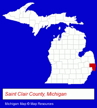
The Michigan counties map at upper right shows St. Clair County, highlighted in red. Use the menu below to display interactive maps of Fort Gratiot, either in a frame on this page or in full-screen mode.
Use the menu below to display categorized Fort Gratiot directories.
| Fort Gratiot Directory Page: | Auto Service |
|---|
Nearby Michigan Cities and Towns *
- Mount Clemens (5) - Mount Clemens, Michigan demographics and maps.
- Port Huron (3) - Port Huron, Michigan information and maps.
* Parenthesized numbers indicate economic activity levels.
Copyright © 2011-2024 RegionalDirectory.us. All rights reserved.