Sierra Vista, Arizona Map and Directory
Regional Directory > States Menu > Arizona
 According to the United States Census Bureau, Sierra Vista is a City that is located in Cochise County, Arizona at 31.55 degrees North and 110.30 degrees West.
The city's time zone is America/Phoenix, and the city's primary telephone area code is 520.
The land area of Sierra Vista is about 152.40 square miles, whereas the water area of the city is about 0.26 square miles.
Cochise County's land area is about 6,166 square miles, so the city occupies about 2.5 percent of the county's total land area.
According to the United States Census Bureau, Sierra Vista is a City that is located in Cochise County, Arizona at 31.55 degrees North and 110.30 degrees West.
The city's time zone is America/Phoenix, and the city's primary telephone area code is 520.
The land area of Sierra Vista is about 152.40 square miles, whereas the water area of the city is about 0.26 square miles.
Cochise County's land area is about 6,166 square miles, so the city occupies about 2.5 percent of the county's total land area.
The Census Bureau estimates that Sierra Vista had about 43,045 residents in 2019, which is approximately 282 people per square mile of land area.
According to recent American Community Survey data, the median household income in Sierra Vista was about $59,585 per year.
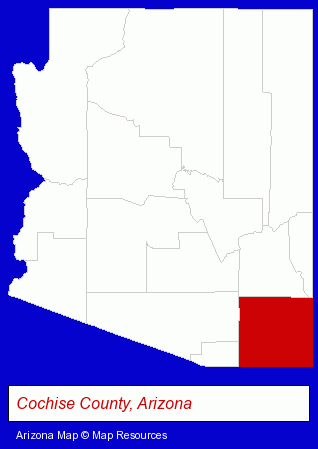
The Arizona counties map at upper right shows Cochise County, highlighted in red. Use the menu below to display interactive maps of Sierra Vista, either in a frame on this page or in full-screen mode.
Use the menu below to display categorized Sierra Vista directories.
| Sierra Vista Products and Services Directory | ||
|---|---|---|
| Auto Service | Home Improvement | Physicians |
Selected Sierra Vista, Arizona Listings
These representative Sierra Vista listings provide some insight into the city's cultural environment and economic climate. Inline Chiropractic Group - Clyde W Zerba DC- Alternative Medicine
- Chiropractors
- Alternative Medicine Practitioners
- Building & Home Construction
- Builders & Contractors
- Metal Buildings Dealers
- Attorneys
- Personal Injury Attorneys
- Criminal Law Attorneys
- Family Law Attorneys
- Estate Planning & Administration Attorneys
- Electric Equipment & Supplies Dealers
- Electronic Equipment & Supplies Wholesale & Manufacturers
Nearby Arizona Cities and Towns *
- Chandler (22) - Chandler, Arizona solutions directory and maps.
- Gilbert (14) - Gilbert, Arizona demographics and directory.
- Green Valley (1) - Green Valley, Arizona information and maps.
- Mesa (40) - Mesa, Arizona products & services directory.
- Scottsdale (57) - Scottsdale, Arizona products & services directory.
- Tempe (36) - Tempe, Arizona products & services directory.
- Tucson (107) - Tucson, Arizona products & services directory.
* Parenthesized numbers indicate economic activity levels.
Copyright © 2011-2026 RegionalDirectory.us. All rights reserved.