El Cajon, California Map and Directory
Regional Directory > States Menu > California
 According to the United States Census Bureau, El Cajon is a City that is located in San Diego County, California at 32.79 degrees North and 116.96 degrees West.
The city's time zone is America/Los Angeles, and the city's primary telephone area code is 619.
The land area of El Cajon is about 14.48 square miles, whereas the water area of the city is about 0.00 square miles.
San Diego County's land area is about 4,207 square miles, so the city occupies about 0.3 percent of the county's total land area.
According to the United States Census Bureau, El Cajon is a City that is located in San Diego County, California at 32.79 degrees North and 116.96 degrees West.
The city's time zone is America/Los Angeles, and the city's primary telephone area code is 619.
The land area of El Cajon is about 14.48 square miles, whereas the water area of the city is about 0.00 square miles.
San Diego County's land area is about 4,207 square miles, so the city occupies about 0.3 percent of the county's total land area.
The Census Bureau estimates that El Cajon had about 102,708 residents in 2019, which is approximately 7,093 people per square mile of land area.
According to recent American Community Survey data, the median household income in El Cajon was about $55,309 per year.
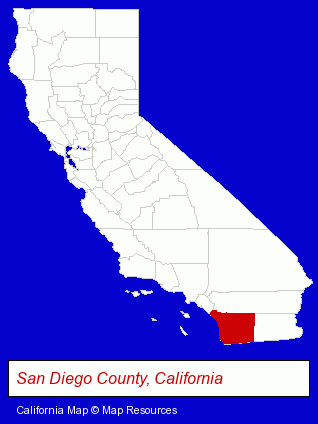
The California counties map at upper right shows San Diego County, highlighted in red. Use the menu below to display interactive maps of El Cajon, either in a frame on this page or in full-screen mode.
Use the menu below to display categorized El Cajon directories.
| El Cajon Products and Services Directory | ||
|---|---|---|
| Air Conditioning | Attorneys | Auto Dealers |
| Auto Service | Building Contractors | Building Materials |
| Heating Contractors | Home Improvement | Libraries |
| Metals | Moving and Storage | Restaurants |
| Schools | ||
Selected El Cajon, California Listings
These randomly selected El Cajon listings provide some insight into the city's cultural environment and economic climate.- Driver Training
- Heating & Air Conditioning Contractors
- Air Conditioning Contractors
- Heating & Ventilating Contractors
- Air Conditioning Service & Repair
- Used & Rebuilt Auto Parts Retail
- Auto & Truck Wrecking
- Auto Recycling & Dismantling
- Antique & Classic Auto Parts
- Cultural Attractions, Events & Facilities
- Libraries
- Sheet Metal Contractors
- Weddings
- Wedding Services
- Wedding Chapels
- Bakeries
- Wedding Planners
- Wireless Communications
- Cell Phones
- Cell Phone Services
- Radio Phone Equipment & Systems
- Electric & Electronic Equipment & Supplies
- Consumer Electronics Stores
- Electronic Equipment & Supplies Wholesale & Manufacturers
- Electric Equipment & Supplies Wholesale & Manufacturers
- Cosmetic Dentists
- Electric Equipment & Supplies Dealers
- Electronic Equipment & Supplies Retail
- Roofing Contractors
- Auto Emissions Testing & Repair
- Accountants
- Certified Public Accountants
Nearby California Cities and Towns *
- Chula Vista (16) - Chula Vista, California demographics and directory.
- La Mesa (9) - La Mesa, California demographics and directory.
- Lakeside (2) - Lakeside, California information and maps.
- National City (6) - National City, California demographics and maps.
- Poway (11) - Poway, California demographics and directory.
- San Diego (199) - San Diego, California products & services directory.
- Santee (3) - Santee, California information and maps.
* Parenthesized numbers indicate economic activity levels.
Copyright © 2011-2026 RegionalDirectory.us. All rights reserved.