Poway, California Map and Directory
Regional Directory > States Menu > California
 According to the United States Census Bureau, Poway is a City that is located in San Diego County, California at 32.96 degrees North and 117.04 degrees West.
The city's time zone is America/Los Angeles, and the city's primary telephone area code is 858.
The land area of Poway is about 39.08 square miles, whereas the water area of the city is about 0.09 square miles.
San Diego County's land area is about 4,207 square miles, so the city occupies about 0.9 percent of the county's total land area.
According to the United States Census Bureau, Poway is a City that is located in San Diego County, California at 32.96 degrees North and 117.04 degrees West.
The city's time zone is America/Los Angeles, and the city's primary telephone area code is 858.
The land area of Poway is about 39.08 square miles, whereas the water area of the city is about 0.09 square miles.
San Diego County's land area is about 4,207 square miles, so the city occupies about 0.9 percent of the county's total land area.
The Census Bureau estimates that Poway had about 49,323 residents in 2019, which is approximately 1,262 people per square mile of land area.
According to recent American Community Survey data, the median household income in Poway was about $107,902 per year.
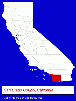
The California counties map at upper right shows San Diego County, highlighted in red. Use the menu below to display interactive maps of Poway, either in a frame on this page or in full-screen mode.
Use the menu below to display categorized Poway directories.
| Poway Products and Services Directory | ||
|---|---|---|
| Animal Hospitals | Auto Emissions | Auto Service |
| Building Contractors | Chiropractors | Dentists |
| Home Improvement | Moving and Storage | Physicians |
| Restaurants | Veterinarians | |
Selected Poway, California Listings
These randomly selected Poway listings provide some insight into the city's cultural environment and economic climate.- Floors & Flooring Contractors
- Floors & Flooring Installation
- Movers
- Trucking Companies
- Household Goods Moving & Storage
- Mini & Self Storage
- Accountants
- Public Accountants
- Accounting, Auditing & Bookkeeping Services
- Tax Return Preparation
- Recording Studios
- Record Labels
- Alternative Medicine
- Chiropractors
- Pediatrics Dentists
- Alternative Medicine
- Chiropractors
- Alternative Medicine Practitioners
- Certified & Registered Massage Therapists
- Janitorial Equipment & Supplies Retail
- Alternative Medicine
- Alternative Medicine Practitioners
- Alternative Medicine Physicians & Surgeons
- Party Equipment & Supplies Sales & Rental
- Plastic & Plastic Products Wholesale & Manufacturers
- Plastic Molders
- Plastic Molds Manufacturers
- Disposable Products Retail
- Cultural Attractions, Events & Facilities
- Libraries
- Alternative Medicine
- Chiropractors
- Medical Equipment & Supplies Retail
- Animal Health
- Energy & Environment
- Solar Energy Systems & Services Retail
Nearby California Cities and Towns *
- Del Mar (7) - Del Mar, California demographics and maps.
- El Cajon (17) - El Cajon, California solutions directory and maps.
- Escondido (22) - Escondido, California solutions directory and maps.
- La Mesa (9) - La Mesa, California demographics and directory.
- Lakeside (2) - Lakeside, California information and maps.
- Ramona (1) - Ramona, California information and maps.
- Santee (3) - Santee, California information and maps.
* Parenthesized numbers indicate economic activity levels.
Copyright © 2011-2026 RegionalDirectory.us. All rights reserved.