Lancaster, California Map and Directory
Regional Directory > States Menu > California
 According to the United States Census Bureau, Lancaster is a City that is located in Los Angeles County, California at 34.70 degrees North and 118.14 degrees West.
The city's time zone is America/Los Angeles, and the city's primary telephone area code is 661.
The land area of Lancaster is about 94.30 square miles, whereas the water area of the city is about 0.26 square miles.
Los Angeles County's land area is about 4,058 square miles, so the city occupies about 2.3 percent of the county's total land area.
According to the United States Census Bureau, Lancaster is a City that is located in Los Angeles County, California at 34.70 degrees North and 118.14 degrees West.
The city's time zone is America/Los Angeles, and the city's primary telephone area code is 661.
The land area of Lancaster is about 94.30 square miles, whereas the water area of the city is about 0.26 square miles.
Los Angeles County's land area is about 4,058 square miles, so the city occupies about 2.3 percent of the county's total land area.
The Census Bureau estimates that Lancaster had about 157,601 residents in 2019, which is approximately 1,671 people per square mile of land area.
According to recent American Community Survey data, the median household income in Lancaster was about $55,237 per year.
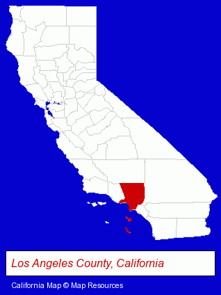
The California counties map at upper right shows Los Angeles County, highlighted in red. Use the menu below to display interactive maps of Lancaster, either in a frame on this page or in full-screen mode.
Use the menu below to display categorized Lancaster directories.
| Lancaster Products and Services Directory | ||
|---|---|---|
| Animal Hospitals | Auto Service | Driver Training |
| Home Improvement | Information Technology | Metals |
| Schools | Visual Arts | |
Selected Lancaster, California Listings
These randomly selected Lancaster listings provide some insight into the city's cultural environment and economic climate.- Auto Body Repair & Painting
- Collision Services
- Defensive Driving Instruction
- Traffic Schools
- Engineers
- Professional Engineers
- Engineering Services
- Veterinarians
- Animal Hospitals
- Grocery Stores & Supermarkets
- Optometrists
- Contact Lenses
- Auto Body Repair & Painting
- Animal Health
- Medical Laboratories
- Radiology Physicians & Surgeons
- Medical & Dental X-Ray Laboratories
- Orthopedics Physicians & Surgeons
- Sports Medicine Physicians & Surgeons
- Rheumatology Physicians & Surgeons
- Shopping Centers & Malls
- Automotive Products Wholesale & Manufacturers
- Trailers Wholesale & Manufacturers
- Camping & Travel Trailer Dealers & Manufacturers
- Sheet Metal Wholesale & Manufacturers
- Windows & Parts Dealers
- Candy & Confectionery Retail
- Electric Equipment & Supplies Dealers
- Electronic Equipment & Supplies Wholesale & Manufacturers
- Sheet Metal Wholesale & Manufacturers
- Engineers
- Electrical Engineers
- Systems & Integration Engineers
Nearby California Cities and Towns *
- Arcadia (6) - Arcadia, California demographics and maps.
- Glendale (22) - Glendale, California solutions directory and maps.
- Palmdale (3) - Palmdale, California information and maps.
- Pasadena (39) - Pasadena, California products & services directory.
- Santa Clarita (4) - Santa Clarita, California information and maps.
* Parenthesized numbers indicate economic activity levels.
Copyright © 2011-2026 RegionalDirectory.us. All rights reserved.