Menlo Park, California Map and Directory
Regional Directory > States Menu > California
 According to the United States Census Bureau, Menlo Park is a City that is located in San Mateo County, California at 37.45 degrees North and 122.18 degrees West.
The city's time zone is America/Los Angeles, and the city's primary telephone area code is 650.
The land area of Menlo Park is about 9.78 square miles, whereas the water area of the city is about 7.63 square miles.
San Mateo County's land area is about 448 square miles, so the city occupies about 2.2 percent of the county's total land area.
According to the United States Census Bureau, Menlo Park is a City that is located in San Mateo County, California at 37.45 degrees North and 122.18 degrees West.
The city's time zone is America/Los Angeles, and the city's primary telephone area code is 650.
The land area of Menlo Park is about 9.78 square miles, whereas the water area of the city is about 7.63 square miles.
San Mateo County's land area is about 448 square miles, so the city occupies about 2.2 percent of the county's total land area.
The Census Bureau estimates that Menlo Park had about 34,698 residents in 2019, which is approximately 3,548 people per square mile of land area.
According to recent American Community Survey data, the median household income in Menlo Park was about $160,784 per year.
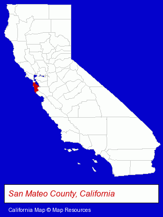
The California counties map at upper right shows San Mateo County, highlighted in red. Use the menu below to display interactive maps of Menlo Park, either in a frame on this page or in full-screen mode.
Use the menu below to display categorized Menlo Park directories.
| Menlo Park Products and Services Directory | ||
|---|---|---|
| Accountants | Business Services | Financial Services |
| Information Technology | Physicians | Restaurants |
| Schools | Visual Arts | |
Selected Menlo Park, California Listings
These randomly selected Menlo Park listings provide some insight into the city's cultural environment and economic climate.- Art Galleries & Dealers
- Drug Stores & Pharmacies
- Drugs & Medications
- Public Accountants
- Certified Public Accountants
- Web Site Design
- Commercial & Graphic Artists
- Web Site Developers
- Internet Advertising
- Loan & Financing Services
- Masonry Equipment & Supplies
- Beverages Wholesale & Manufacturers
- Coffee & Tea Wholesale & Manufacturers
- Certified Public Accountants
- Builders & Contractors
- Building Contractors
- Cosmetic & Reconstructive Surgeons
- Surgeons
- Publishers
- Book Publishers
- Crafts & Craft Supplies Retail
- Animal Hospitals
- Sports & Recreation Facilities
- Health Clubs & Gyms
- Fitness Consultants
- Certified Public Accountants
- Criminal Law Attorneys
- Family Law Attorneys
- Divorce Attorneys
- Adoption Attorneys
- Industrial Equipment & Supplies Wholesale & Manufacturers
- Industrial Equipment Parts & Accessories Wholesale & Manufacturers
- Plastic Molders
- Coffee & Tea Shops
Nearby California Cities and Towns *
- Atherton (1) - Atherton, California information and maps.
- Los Altos (3) - Los Altos, California information and maps.
- Palo Alto (20) - Palo Alto, California solutions directory and maps.
- Redwood City (20) - Redwood City, California solutions directory and maps.
- San Carlos (14) - San Carlos, California demographics and directory.
- Sunnyvale (14) - Sunnyvale, California demographics and directory.
* Parenthesized numbers indicate economic activity levels.
Copyright © 2011-2026 RegionalDirectory.us. All rights reserved.