Palo Alto, California Map and Directory
Regional Directory > States Menu > California
 According to the United States Census Bureau, Palo Alto is a City that is located in Santa Clara County, California at 37.44 degrees North and 122.14 degrees West.
The city's time zone is America/Los Angeles, and the city's primary telephone area code is 650.
The land area of Palo Alto is about 23.87 square miles, whereas the water area of the city is about 1.90 square miles.
Santa Clara County's land area is about 1,290 square miles, so the city occupies about 1.9 percent of the county's total land area.
According to the United States Census Bureau, Palo Alto is a City that is located in Santa Clara County, California at 37.44 degrees North and 122.14 degrees West.
The city's time zone is America/Los Angeles, and the city's primary telephone area code is 650.
The land area of Palo Alto is about 23.87 square miles, whereas the water area of the city is about 1.90 square miles.
Santa Clara County's land area is about 1,290 square miles, so the city occupies about 1.9 percent of the county's total land area.
The Census Bureau estimates that Palo Alto had about 65,364 residents in 2019, which is approximately 2,738 people per square mile of land area.
According to recent American Community Survey data, the median household income in Palo Alto was about $158,271 per year.
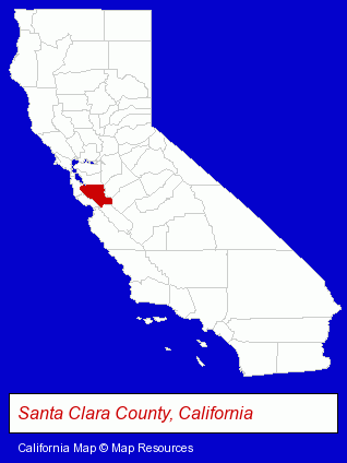
The California counties map at upper right shows Santa Clara County, highlighted in red. Use the menu below to display interactive maps of Palo Alto, either in a frame on this page or in full-screen mode.
Use the menu below to display categorized Palo Alto directories.
| Palo Alto Products and Services Directory | ||
|---|---|---|
| Architects | Attorneys | Auto Body Shops |
| Auto Service | Building Contractors | Business Services |
| Clinics | Cosmetic Surgeons | Dentists |
| Information Technology | Optometrists | Physicians |
| Restaurants | Schools | |
Selected Palo Alto, California Listings
These randomly selected Palo Alto listings provide some insight into the city's cultural environment and economic climate.- Auto Customizing, Conversion & Restoration
- Auto Cleaning & Detailing
- Custom Auto Painting
- Business Consultants & Advisors
- Management Consultants
- Business Management Services
- Antiques
- Antique Dealers
- Pediatrics Physicians & Surgeons
- Cosmetic & Reconstructive Surgeons
- Surgeons
- Financial Institutions
- Personal Loans
- Mortgage & Loan Banks
- Architectural Engineers
- Cosmetic Dentists
- Computer Consultants
- Computer Networks
- Network Consultants
- Allergy & Immunology Physicians & Surgeons
Nearby California Cities and Towns *
- Belmont (5) - Belmont, California demographics and maps.
- Los Altos (3) - Los Altos, California information and maps.
- Menlo Park (8) - Menlo Park, California demographics and maps.
- Redwood City (20) - Redwood City, California solutions directory and maps.
- San Carlos (14) - San Carlos, California demographics and directory.
- Sunnyvale (14) - Sunnyvale, California demographics and directory.
* Parenthesized numbers indicate economic activity levels.
Copyright © 2011-2026 RegionalDirectory.us. All rights reserved.