Pacifica, California Map and Directory
Regional Directory > States Menu > California
 According to the United States Census Bureau, Pacifica is a City that is located in San Mateo County, California at 37.61 degrees North and 122.49 degrees West.
The city's time zone is America/Los Angeles, and the city's primary telephone area code is 650.
The land area of Pacifica is about 12.66 square miles, whereas the water area of the city is about 0.00 square miles.
San Mateo County's land area is about 448 square miles, so the city occupies about 2.8 percent of the county's total land area.
According to the United States Census Bureau, Pacifica is a City that is located in San Mateo County, California at 37.61 degrees North and 122.49 degrees West.
The city's time zone is America/Los Angeles, and the city's primary telephone area code is 650.
The land area of Pacifica is about 12.66 square miles, whereas the water area of the city is about 0.00 square miles.
San Mateo County's land area is about 448 square miles, so the city occupies about 2.8 percent of the county's total land area.
The Census Bureau estimates that Pacifica had about 38,546 residents in 2019, which is approximately 3,045 people per square mile of land area.
According to recent American Community Survey data, the median household income in Pacifica was about $125,500 per year.
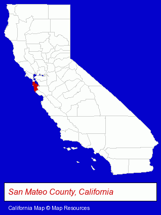
The California counties map at upper right shows San Mateo County, highlighted in red. Use the menu below to display interactive maps of Pacifica, either in a frame on this page or in full-screen mode.
Use the menu below to display categorized Pacifica directories.
| Pacifica Products and Services Directory | |
|---|---|
| Building Contractors | Home Improvement |
Selected Pacifica, California Listings
These representative Pacifica listings provide some insight into the city's cultural environment and economic climate.- Soccer
- Soccer Clubs & Instruction
- Funeral Services
- Funeral Homes & Directors
- Cemeteries & Memorial Parks
- Cemeteries & Crematories
- Cremation Services
- Alternative Medicine
- Chiropractors
- Alternative Medicine Practitioners
- Musical Instruments Retail
- Musical Instrument Service & Repair
- Pianos & Organs Retail
- Piano Tuning, Repair & Refinishing
- Animal Hospitals
- Siding Contractors
- Auto Service & Repair
- Picture Frames Retail
- Optometrists
- Building & Home Construction
- Special Trades Contractors
- Painting Contractors
- Coffee & Tea Shops
- Visual Arts
- Photography
- Professional Photographers
- Portrait Photographers
- Restaurants
- Banquet Facilities
- Chinese Restaurants
Nearby California Cities and Towns *
- Belmont (5) - Belmont, California demographics and maps.
- Burlingame (10) - Burlingame, California demographics and directory.
- Redwood City (20) - Redwood City, California solutions directory and maps.
- San Carlos (14) - San Carlos, California demographics and directory.
- San Francisco (146) - San Francisco, California products & services directory.
- San Mateo (24) - San Mateo, California solutions directory and maps.
- South San Francisco (14) - South San Francisco, California demographics and directory.
* Parenthesized numbers indicate economic activity levels.
Copyright © 2011-2026 RegionalDirectory.us. All rights reserved.