|
Cloud View Aerial Imagery Merritt Island, FL 32952 1-321-544-1317 cloudviewaerial.com
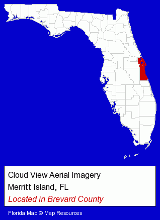
Located in Brevard County.
Visit the link below to find this listing and comparable listings in a categorical context.
The Regional Directory lists approximately 157 aerial photographers throughout the USA.
|
 |
Merritt Island, Florida, where Cloud View Aerial Imagery is located, has a population of about 37,000 residents.
Brevard County, where Merritt Island is located, is shown in red on theFlorida map.

|
Merritt Island, Florida, the location of Cloud View Aerial Imagery, is shown on the interactive map below.
The most recently known address of Cloud View Aerial Imagery is 960 South Courtenay Parkway, Merritt Island, Florida 32952.
Before visiting Cloud View Aerial Imagery, be sure to verify its address and hours of operation.
This Florida-based organization may have ceased operations or relocated, and hours can sometimes vary.
So a quick phone call can often save you time and aggravation.
Visit this search results page to find more information about Cloud View Aerial Imagery in Merritt Island, Florida.