Woodstock, Georgia Map and Directory
Regional Directory > States Menu > Georgia
 According to the United States Census Bureau, Woodstock is a City that is located in Cherokee County, Georgia at 34.10 degrees North and 84.52 degrees West.
The city's time zone is America/New York, and the city's primary telephone area code is 770.
The land area of Woodstock is about 11.73 square miles, whereas the water area of the city is about 0.10 square miles.
Cherokee County's land area is about 422 square miles, so the city occupies about 2.8 percent of the county's total land area.
According to the United States Census Bureau, Woodstock is a City that is located in Cherokee County, Georgia at 34.10 degrees North and 84.52 degrees West.
The city's time zone is America/New York, and the city's primary telephone area code is 770.
The land area of Woodstock is about 11.73 square miles, whereas the water area of the city is about 0.10 square miles.
Cherokee County's land area is about 422 square miles, so the city occupies about 2.8 percent of the county's total land area.
The Census Bureau estimates that Woodstock had about 33,039 residents in 2019, which is approximately 2,817 people per square mile of land area.
According to recent American Community Survey data, the median household income in Woodstock was about $76,191 per year.
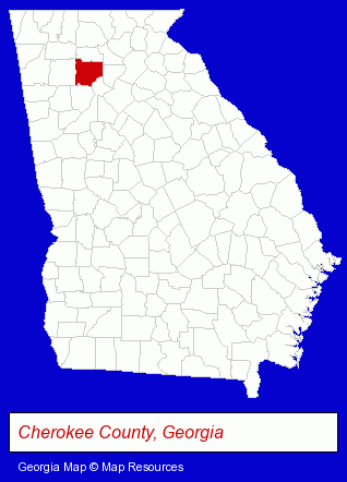
The Georgia counties map at upper right shows Cherokee County, highlighted in red. Use the menu below to display interactive maps of Woodstock, either in a frame on this page or in full-screen mode.
Use the menu below to display categorized Woodstock directories.
| Woodstock Products and Services Directory | ||
|---|---|---|
| Chiropractors | Financial Services | Home Improvement |
| Pest Control | Physicians | Printing and Publishing |
Selected Woodstock, Georgia Listings
These randomly selected Woodstock listings provide some insight into the city's cultural environment and economic climate.- Door & Window Dealers
- Tires Retail
- Wheel & Tire Service & Repair
- Steak Restaurants
- Caterers
- American Restaurants
- Collection Agencies
- Adjustment & Collection Services
- Interior Decorators & Designers
- Industrial Equipment & Supplies Dealers
- Printing & Publishing
- Mail Services & Package Shipping
- Mailing Equipment & Supplies
- Postage Equipment & Service
- Lawn & Garden Sprinklers Installation & Service
- Lawn & Garden Equipment Service & Repair
- Property Maintenance
- Landscape Contractors Commercial & Industrial
- Window Glass Coating & Tinting
- Coffee & Tea Shops
- Driver Training
- Defensive Driving Instruction
- Animal Hospitals
- Animal Health
Nearby Georgia Cities and Towns *
- Acworth (4) - Acworth, Georgia information and maps.
- Alpharetta (25) - Alpharetta, Georgia solutions directory and maps.
- Canton (3) - Canton, Georgia information and maps.
- Kennesaw (10) - Kennesaw, Georgia demographics and directory.
- Marietta (39) - Marietta, Georgia products & services directory.
- Roswell (16) - Roswell, Georgia demographics and directory.
- Smyrna (6) - Smyrna, Georgia demographics and maps.
* Parenthesized numbers indicate economic activity levels.
Copyright © 2011-2026 RegionalDirectory.us. All rights reserved.