Kennesaw, Georgia Map and Directory
Regional Directory > States Menu > Georgia
 According to the United States Census Bureau, Kennesaw is a City that is located in Cobb County, Georgia at 34.02 degrees North and 84.62 degrees West.
The city's time zone is America/New York, and the city's primary telephone area code is 770.
The land area of Kennesaw is about 9.58 square miles, whereas the water area of the city is about 0.11 square miles.
Cobb County's land area is about 340 square miles, so the city occupies about 2.8 percent of the county's total land area.
According to the United States Census Bureau, Kennesaw is a City that is located in Cobb County, Georgia at 34.02 degrees North and 84.62 degrees West.
The city's time zone is America/New York, and the city's primary telephone area code is 770.
The land area of Kennesaw is about 9.58 square miles, whereas the water area of the city is about 0.11 square miles.
Cobb County's land area is about 340 square miles, so the city occupies about 2.8 percent of the county's total land area.
The Census Bureau estimates that Kennesaw had about 34,077 residents in 2019, which is approximately 3,557 people per square mile of land area.
According to recent American Community Survey data, the median household income in Kennesaw was about $70,930 per year.
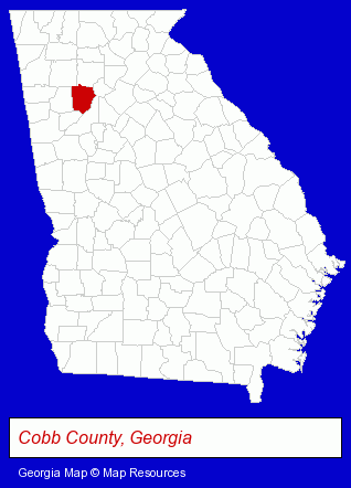
The Georgia counties map at upper right shows Cobb County, highlighted in red. Use the menu below to display interactive maps of Kennesaw, either in a frame on this page or in full-screen mode.
Use the menu below to display categorized Kennesaw directories.
| Kennesaw Products and Services Directory | ||
|---|---|---|
| Building Materials | Business Services | Clinics |
| Dentists | Home Improvement | Insurance |
| Metals | Printing and Publishing | Schools |
| Visual Arts | ||
Selected Kennesaw, Georgia Listings
These randomly selected Kennesaw listings provide some insight into the city's cultural environment and economic climate.- Pharmaceutical Products Wholesale & Manufacturers
- Pest Control Services
- Animal Services
- Animal Rescue & Relocation Services
- Floors & Flooring Contractors
- Cleaning Services
- Carpet, Rug & Upholstery Cleaning
- Interior Cleaning Services
- Importers
- Chemicals Wholesale & Manufacturers
- Chemicals Dealers
- Swimming Pool Dealers
- Swimming Pool Cover & Enclosure Dealers
- Metal Products
- Metal Products Wholesale & Manufacturers
- Exporters
- Metal Products Dealers
- Metal Fabricators
- Sheet Metal Equipment & Supplies Wholesale & Manufacturers
- Landscape Contractors
- Landscape Services
- Landscape Designers & Consultants
- Lawn & Garden Services
- Lawn Services
- Kitchen & Bathroom Remodeling
- Bathroom Fixtures & Accessories Retail
- Utilities
- Fuels Retail
- Propane & Natural Gas
- Gas Companies
- Event Planning
- Party Planning
- Office Furniture & Equipment Dealers
- Computer Supplies, Parts & Accessories
- Computer Graphics & Imaging
- Scanning & Plotting Equipment, Service & Supplies
- Packaging & Shipping Materials Retail
- Restaurant Equipment & Services
- Restaurant Equipment & Supplies Retail
- Lawn & Garden Equipment & Supplies Retail
Nearby Georgia Cities and Towns *
- Acworth (4) - Acworth, Georgia information and maps.
- Canton (3) - Canton, Georgia information and maps.
- Cartersville (5) - Cartersville, Georgia demographics and maps.
- Marietta (39) - Marietta, Georgia products & services directory.
- Roswell (16) - Roswell, Georgia demographics and directory.
- Smyrna (6) - Smyrna, Georgia demographics and maps.
- Woodstock (6) - Woodstock, Georgia demographics and maps.
* Parenthesized numbers indicate economic activity levels.
Copyright © 2011-2026 RegionalDirectory.us. All rights reserved.