Gurnee, Illinois Map and Directory
Regional Directory > States Menu > Illinois
 According to the United States Census Bureau, Gurnee is a Village that is located in Lake County, Illinois at 42.37 degrees North and 87.90 degrees West.
The village's time zone is America/Chicago, and the village's primary telephone area code is 847.
The land area of Gurnee is about 13.45 square miles, whereas the water area of the village is about 0.07 square miles.
Lake County's land area is about 444 square miles, so the village occupies about 3.0 percent of the county's total land area.
According to the United States Census Bureau, Gurnee is a Village that is located in Lake County, Illinois at 42.37 degrees North and 87.90 degrees West.
The village's time zone is America/Chicago, and the village's primary telephone area code is 847.
The land area of Gurnee is about 13.45 square miles, whereas the water area of the village is about 0.07 square miles.
Lake County's land area is about 444 square miles, so the village occupies about 3.0 percent of the county's total land area.
The Census Bureau estimates that Gurnee had about 30,378 residents in 2019, which is approximately 2,259 people per square mile of land area.
According to recent American Community Survey data, the median household income in Gurnee was about $96,104 per year.
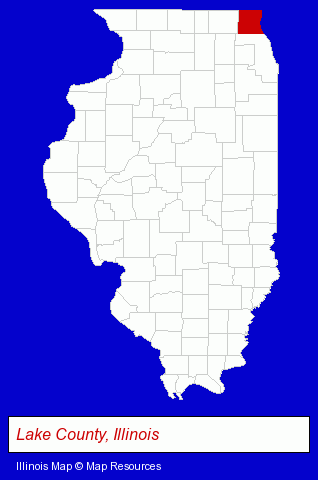
The Illinois counties map at upper right shows Lake County, highlighted in red. Use the menu below to display interactive maps of Gurnee, either in a frame on this page or in full-screen mode.
Use the menu below to display categorized Gurnee directories.
| Gurnee Products and Services Directory | ||
|---|---|---|
| Auto Service | Building Materials | Chiropractors |
| Dentists | Home Improvement | Insurance |
| Physicians | Recreation Centers | |
Selected Gurnee, Illinois Listings
These randomly selected Gurnee listings in 60031 provide a window into the village's cultural environment and economic climate. Air Diffusion Systems- Water Filtration Equipment Retail
- Metals
- Florists
- Social & Human Services
- Mental Health
- Counseling Services
- Marriage & Family Counseling
- Counseling Centers
- Resume Services
- Banks
- Financial Services
- Financing
- Employment
- Recruitment & Staffing Services
- Executive Search Consultants
- Employment Consultants
- Furniture Stores
- Outdoor Furniture Retail
- Furniture Accessories
- Furniture & Fixtures Manufacturers
- Machine Shops
- Sheet Metal Wholesale & Manufacturers
- Metal Specialties
- Metal Specialties Manufacturers
- Maxillofacial Physicians & Surgeons
- Vending Machines
- Beverage Dispensing Equipment, Supplies & Repair
- Machine Shops
- Tool & Die Makers
- Landscape Contractors
- Lawn & Garden Services
- Garden Centers
- Mulch
- Clothing Stores
- Shoe Stores
- Auto Insurance
- Engineers
- Chemicals Wholesale & Manufacturers
- Chemicals Dealers
- Chemicals Commercial & Industrial
- Libraries
Nearby Illinois Cities and Towns *
- Grayslake (5) - Grayslake, Illinois demographics and maps.
- Lake Bluff (6) - Lake Bluff, Illinois demographics and maps.
- Lake Forest (7) - Lake Forest, Illinois demographics and maps.
- Libertyville (18) - Libertyville, Illinois solutions directory and maps.
- Mundelein (7) - Mundelein, Illinois demographics and maps.
- Vernon Hills (3) - Vernon Hills, Illinois information and maps.
- Waukegan (7) - Waukegan, Illinois demographics and maps.
Large and Mid-size Cities in Nearby States
- Kenosha, Wisconsin (20) - Kenosha, WI demographics and directory.
* Parenthesized numbers indicate economic activity levels.
Copyright © 2011-2026 RegionalDirectory.us. All rights reserved.