Macomb, Illinois Map and Directory
Regional Directory > States Menu > Illinois
 According to the United States Census Bureau, Macomb is a City that is located in McDonough County, Illinois at 40.46 degrees North and 90.67 degrees West.
The city's time zone is America/Chicago, and the city's primary telephone area code is 309.
The land area of Macomb is about 10.89 square miles, whereas the water area of the city is about 0.43 square miles.
McDonough County's land area is about 589 square miles, so the city occupies about 1.8 percent of the county's total land area.
According to the United States Census Bureau, Macomb is a City that is located in McDonough County, Illinois at 40.46 degrees North and 90.67 degrees West.
The city's time zone is America/Chicago, and the city's primary telephone area code is 309.
The land area of Macomb is about 10.89 square miles, whereas the water area of the city is about 0.43 square miles.
McDonough County's land area is about 589 square miles, so the city occupies about 1.8 percent of the county's total land area.
The Census Bureau estimates that Macomb had about 17,413 residents in 2019, which is approximately 1,599 people per square mile of land area.
According to recent American Community Survey data, the median household income in Macomb was about $39,384 per year.
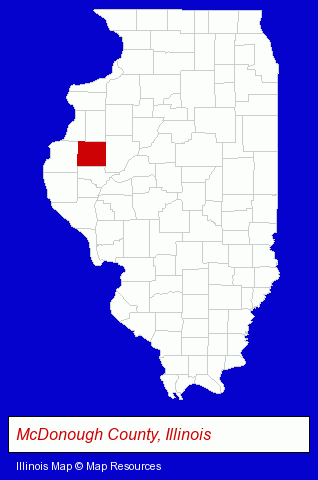
The Illinois counties map at upper right shows McDonough County, highlighted in red. Use the menu below to display interactive maps of Macomb, either in a frame on this page or in full-screen mode.
Use the menu below to display categorized Macomb directories.
| Macomb Directory Page: | Clinics |
|---|
Selected Macomb, Illinois Listings
These Macomb listings in zipcode 61455 provide a window into the city's cultural environment and economic climate. All Pets Veterinary Clinic - Jamie L MC Clure DVM- Veterinarians
- Property & Casualty Insurance
- Business Insurance
- Boat & Yacht Insurance
- Motorcycle Insurance
- Printing Services
- Computer Printers
- Computer & Software Stores
- Computer Training
- Chiropractors
- Chiropractic Clinics
- Family Practice Chiropractors
- Sports Medicine Chiropractors
- Occupational Health Chiropractors
- Insurance
- Life Insurance
- Convention Visitors & Information Centers
- Chiropractors
- Business Services
- Business Consultants & Advisors
- Management Consultants
- Business Management Services
- Civic Clubs & Organizations
- Airports
- Jewelers
- Pawn Brokers & Shops
- Title Insurance
- Escrow Services
- Schools
- Public Schools
- Museums
Nearby Illinois Cities and Towns *
- Galesburg (2) - Galesburg, Illinois information and maps.
- Moline (14) - Moline, Illinois demographics and directory.
- Pekin (4) - Pekin, Illinois information and maps.
- Peoria (41) - Peoria, Illinois products & services directory.
- Quincy (14) - Quincy, Illinois demographics and directory.
- Rock Island (4) - Rock Island, Illinois information and maps.
- Springfield (48) - Springfield, Illinois products & services directory.
* Parenthesized numbers indicate economic activity levels.
Copyright © 2011-2026 RegionalDirectory.us. All rights reserved.