Peoria, Illinois Map and Directory
Regional Directory > States Menu > Illinois
 According to the United States Census Bureau, Peoria is a City that is located in Peoria County, Illinois at 40.69 degrees North and 89.59 degrees West.
The city's time zone is America/Chicago, and the city's primary telephone area code is 309.
The land area of Peoria is about 48.22 square miles, whereas the water area of the city is about 2.22 square miles.
Peoria County's land area is about 619 square miles, so the city occupies about 7.8 percent of the county's total land area.
According to the United States Census Bureau, Peoria is a City that is located in Peoria County, Illinois at 40.69 degrees North and 89.59 degrees West.
The city's time zone is America/Chicago, and the city's primary telephone area code is 309.
The land area of Peoria is about 48.22 square miles, whereas the water area of the city is about 2.22 square miles.
Peoria County's land area is about 619 square miles, so the city occupies about 7.8 percent of the county's total land area.
The Census Bureau estimates that Peoria had about 110,417 residents in 2019, which is approximately 2,290 people per square mile of land area.
According to recent American Community Survey data, the median household income in Peoria was about $51,771 per year. This Peoria Real Estate directory lists real estate solution providers in Peoria, Illinois.
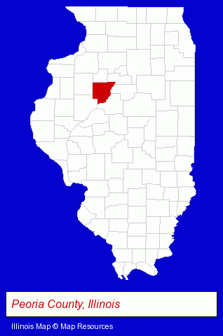
The Illinois counties map at upper right shows Peoria County, highlighted in red. Use the menu below to display interactive maps of Peoria, either in a frame on this page or in full-screen mode.
Use the menu below to display categorized Peoria directories.
Selected Peoria, Illinois Listings
These randomly selected Peoria listings provide some insight into the city's cultural environment and economic climate.- Major Appliance Service & Repair
- Appliance Dealers
- Vocational Education
- Aviation Schools
- General Practice
- Endocrinology & Metabolism Physicians & Surgeons
- Caterers
- American Restaurants
- Oral & Maxillofacial Pathology & Surgery Dentists
- Certified Public Accountants
- Government Contractors
- Excavation Contractors
- Wrecking & Demolition Contractors
- Public Schools
- Chemicals Dealers
- Photography
- Photographic Equipment & Supplies Retail
- Photofinishing Retail
- Sporting Goods Dealers
- Sportswear Retail
- Sports & Entertainment Tickets
- Ice Hockey Clubs & Instruction
- Building & Home Construction
- Building Materials & Supplies Dealers
- Commercial & Industrial Building Materials & Supplies
- Movers
- Piano & Organ Movers
- Moving Equipment & Supplies Rental
- Civil Engineers
- Professional Engineers
- Testing Laboratories
- Geotechnical Engineers
Nearby Illinois Cities and Towns *
- Bloomington (16) - Bloomington, Illinois demographics and directory.
- East Peoria (2) - East Peoria, Illinois information and maps.
- Morton (2) - Morton, Illinois information and maps.
- Normal (7) - Normal, Illinois demographics and maps.
- Pekin (4) - Pekin, Illinois information and maps.
* Parenthesized numbers indicate economic activity levels.
Copyright © 2011-2026 RegionalDirectory.us. All rights reserved.