Greenwood, Indiana Map and Directory
Regional Directory > States Menu > Indiana
 According to the United States Census Bureau, Greenwood is a City that is located in Johnson County, Indiana at 39.61 degrees North and 86.11 degrees West.
The city's time zone is America/Indiana/Indianapolis, and the city's primary telephone area code is 317.
The land area of Greenwood is about 27.91 square miles, whereas the water area of the city is about 0.00 square miles.
Johnson County's land area is about 320 square miles, so the city occupies about 8.7 percent of the county's total land area.
According to the United States Census Bureau, Greenwood is a City that is located in Johnson County, Indiana at 39.61 degrees North and 86.11 degrees West.
The city's time zone is America/Indiana/Indianapolis, and the city's primary telephone area code is 317.
The land area of Greenwood is about 27.91 square miles, whereas the water area of the city is about 0.00 square miles.
Johnson County's land area is about 320 square miles, so the city occupies about 8.7 percent of the county's total land area.
The Census Bureau estimates that Greenwood had about 59,458 residents in 2019, which is approximately 2,130 people per square mile of land area.
According to recent American Community Survey data, the median household income in Greenwood was about $63,474 per year.
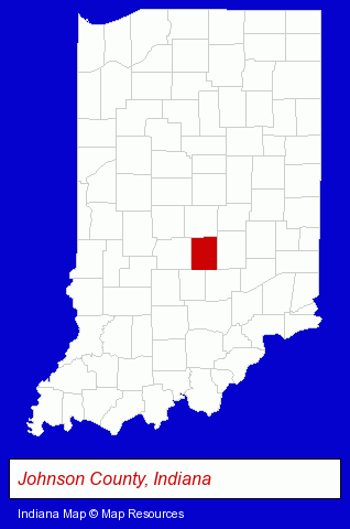
The Indiana counties map at upper right shows Johnson County, highlighted in red. Use the menu below to display interactive maps of Greenwood, either in a frame on this page or in full-screen mode.
Use the menu below to display categorized Greenwood directories.
| Greenwood Products and Services Directory | ||
|---|---|---|
| Attorneys | Auto Service | Business Services |
| Dentists | Home Improvement | Visual Arts |
Selected Greenwood, Indiana Listings
These randomly selected Greenwood listings provide some insight into the city's cultural environment and economic climate.- Information Technology Services
- Internet Products & Services
- Web Site Design
- Web Sites
- Web Site Developers
- Information Technology Services
- Internet Products & Services
- Web Site Design
- Web Sites
- Property & Casualty Insurance
- Business Insurance
- Boat & Yacht Insurance
- Caterers
- Meats Retail
- Speech & Hearing
- Hearing Aids & Assistive Devices Retail
- Speech & Hearing Equipment & Supplies Retail
- Physicians & Surgeons
- Clinics & Medical Centers
- Podiatry Physicians & Surgeons
- Public Golf Courses
- Private Golf Courses
- Aircraft Parts & Equipment Retail
- Clothing & Accessories Retail
- Jewelers
- Jewelry Repair
- Watch Service & Repair
- Photography
- Professional Photographers
- Photographic Equipment & Supplies Retail
- Alternative Medicine
- Beauty Salons
- Hair Care & Treatment
- Manicures & Pedicures
- Sign Dealers
- Signs Wholesale & Manufacturers
- Commercial Signs
- Metals
- Metal Products
- Metal Products Wholesale & Manufacturers
- Steel Fabrication
- Moving & Storage
Nearby Indiana Cities and Towns *
- Carmel (14) - Carmel, Indiana demographics and directory.
- Fishers (5) - Fishers, Indiana demographics and maps.
- Indianapolis (110) - Indianapolis, Indiana products & services directory.
- Martinsville (1) - Martinsville, Indiana information and maps.
- Shelbyville (4) - Shelbyville, Indiana information and maps.
- Zionsville (2) - Zionsville, Indiana information and maps.
* Parenthesized numbers indicate economic activity levels.
Copyright © 2011-2026 RegionalDirectory.us. All rights reserved.