South Bend, Indiana Map and Directory
Regional Directory > States Menu > Indiana
 According to the United States Census Bureau, South Bend is a City that is located in St. Joseph County, Indiana at 41.68 degrees North and 86.25 degrees West.
The city's time zone is America/Indiana/Indianapolis, and the city's primary telephone area code is 574.
The land area of South Bend is about 41.35 square miles, whereas the water area of the city is about 0.42 square miles.
According to the United States Census Bureau, South Bend is a City that is located in St. Joseph County, Indiana at 41.68 degrees North and 86.25 degrees West.
The city's time zone is America/Indiana/Indianapolis, and the city's primary telephone area code is 574.
The land area of South Bend is about 41.35 square miles, whereas the water area of the city is about 0.42 square miles.
The Census Bureau estimates that South Bend had about 102,026 residents in 2019, which is approximately 2,467 people per square mile of land area.
According to recent American Community Survey data, the median household income in South Bend was about $40,265 per year.
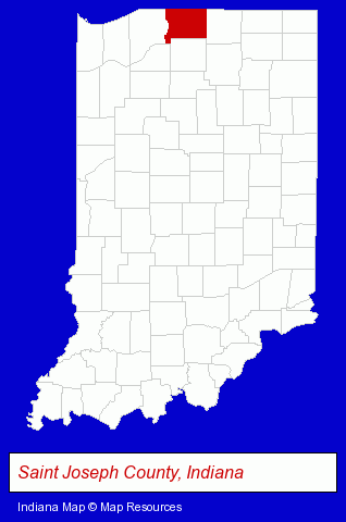
The Indiana counties map at upper right shows St. Joseph County, highlighted in red. Use the menu below to display interactive maps of South Bend, either in a frame on this page or in full-screen mode.
Use the menu below to display categorized South Bend directories.
| South Bend Products and Services Directory | ||
|---|---|---|
| Architects | Attorneys | Auto Service |
| Building Materials | Business Services | Clinics |
| Clothing Stores | Credit Unions | Home Furnishings |
| Home Improvement | Information Technology | Insurance |
| Metals | Physicians | Printing and Publishing |
| Schools | Visual Arts | |
Selected South Bend, Indiana Listings
These randomly selected South Bend listings in 46628 provide a window into the city's cultural environment and economic climate. Blackthorn Golf Club- Public Golf Courses
- Private Golf Courses
- Golf Driving & Practice Ranges
- Industrial Equipment & Supplies Wholesale & Manufacturers
- Auto Parts Retail
- Auto Parts Wholesale & Manufacturers
- Industrial Equipment Parts & Accessories Wholesale & Manufacturers
- Brakes & Brake Linings Wholesale & Manufacturers
- Laboratories
- Research & Development Laboratories
- Engineers
- Industrial Equipment & Supplies Wholesale & Manufacturers
- Machine Shops
- Tool & Die Makers
- Advertising
- Cabinet Dealers
- Plastic & Plastic Products Wholesale & Manufacturers
- Cabinets & Cabinet Makers Residential
- Medical Equipment & Supplies Retail
- Medical Services
- Medical Laboratories
- Medical Diagnostic Clinics
- Business Consultants & Advisors
- Management Consultants
- Business Management Services
- Office Supplies Retail
- Packaging & Shipping Materials Retail
- Printing & Writing Paper
- Vocational Education
- Aviation Schools
Nearby Indiana Cities and Towns *
- Bremen (1) - Bremen, Indiana information and maps.
- Elkhart (15) - Elkhart, Indiana demographics and directory.
- Goshen (4) - Goshen, Indiana information and maps.
- La Porte (3) - La Porte, Indiana information and maps.
- Mishawaka (8) - Mishawaka, Indiana demographics and maps.
- Plymouth (2) - Plymouth, Indiana information and maps.
- Wakarusa (2) - Wakarusa, Indiana information and maps.
* Parenthesized numbers indicate economic activity levels.
Copyright © 2011-2026 RegionalDirectory.us. All rights reserved.