Plymouth, Indiana Map and Directory
Regional Directory > States Menu > Indiana
 According to the United States Census Bureau, Plymouth is a City that is located in Marshall County, Indiana at 41.34 degrees North and 86.31 degrees West.
The city's time zone is America/Indiana/Indianapolis, and the city's primary telephone area code is 574.
The land area of Plymouth is about 7.53 square miles, whereas the water area of the city is about 0.04 square miles.
Marshall County's land area is about 444 square miles, so the city occupies about 1.7 percent of the county's total land area.
According to the United States Census Bureau, Plymouth is a City that is located in Marshall County, Indiana at 41.34 degrees North and 86.31 degrees West.
The city's time zone is America/Indiana/Indianapolis, and the city's primary telephone area code is 574.
The land area of Plymouth is about 7.53 square miles, whereas the water area of the city is about 0.04 square miles.
Marshall County's land area is about 444 square miles, so the city occupies about 1.7 percent of the county's total land area.
The Census Bureau estimates that Plymouth had about 9,982 residents in 2019, which is approximately 1,326 people per square mile of land area.
According to recent American Community Survey data, the median household income in Plymouth was about $37,610 per year.
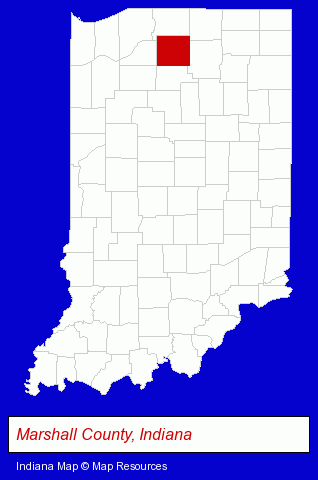
The Indiana counties map at upper right shows Marshall County, highlighted in red. Use the menu below to display interactive maps of Plymouth, either in a frame on this page or in full-screen mode.
Use the menu below to display categorized Plymouth directories.
| Plymouth Products and Services Directory | |
|---|---|
| Home Improvement | Metals |
Selected Plymouth, Indiana Listings
These representative Plymouth listings provide some insight into the city's cultural environment and economic climate.- Building Materials & Supplies Dealers
- Plastic & Plastic Products Wholesale & Manufacturers
- Insulation Materials Dealers
- Fuels Retail
- Propane & Natural Gas
- Medical Equipment & Supplies Retail
- Copying & Duplicating Services
- Laminating Products & Services
- Moving & Storage
- Household Goods & Furniture Storage
- Mini & Self Storage
- Sports & Recreation Facilities
- Health Clubs & Gyms
- Health Information & Referral Services
- Information Technology Services
- Computer Software
- Computer & Equipment Dealers
- Computer & Software Stores
- Landscape Contractors
- Landscape Services
- Landscape Designers & Consultants
- Excavation Contractors
- Auto Parts Retail
- Auto Parts Wholesale & Manufacturers
- Chemicals Dealers
- Homes & Residential Real Estate
- General Real Estate
- Real Estate Agencies & Brokerage
- Auctions
- Auctioneers & Auction Houses
- Attorneys
- Corporate Business Attorneys
- Personal Injury Attorneys
- Criminal Law Attorneys
- Family Law Attorneys
- Water Filtration Equipment Retail
- Truck Dealers
- Used Cars
- Used Trucks
- Industrial Equipment & Supplies Dealers
- Metals
- Metal Products
- Metal Products Wholesale & Manufacturers
- Steel Fabrication
- Industrial Equipment & Supplies Wholesale & Manufacturers
- Machine Tools Wholesale & Manufacturing
- Cutting Tools Wholesale & Manufacturers
- Libraries
- Plumbing Service & Repair
- Building Materials & Supplies Wholesale & Manufacturers
- Plumbing & Heating Supplies Wholesale & Manufacturers
- Radio Stations
Nearby Indiana Cities and Towns *
- Bremen (1) - Bremen, Indiana information and maps.
- Culver (1) - Culver, Indiana information and maps.
- La Porte (3) - La Porte, Indiana information and maps.
- Mishawaka (8) - Mishawaka, Indiana demographics and maps.
- South Bend (26) - South Bend, Indiana solutions directory and maps.
- Wakarusa (2) - Wakarusa, Indiana information and maps.
- Warsaw (5) - Warsaw, Indiana demographics and maps.
* Parenthesized numbers indicate economic activity levels.
Copyright © 2011-2026 RegionalDirectory.us. All rights reserved.